What is recorded here
Fairy forts and hidden ringforts still stand in County Limerick, though trees and rain have buried much of their shape. Tobermalug keeps one such circle near the Groody River, close enough that water, soil and memory may have done the work of time together. What is missing is not nothing; it is the part people stopped naming.
In poorly drained recently planted forestry, 145m W of the Groody River. Ringfort (LI014-037----) lies 200m to W. Cropmark of circular-shaped area (diam. c. 30m) defined by a scarp and fosse visible on OSi orthoimages and Google Earth orthophotos taken 2018. Outline of monument visible on Google Earth orthoimage taken 28/06/2018.
See attached Google earth orthoimages taken 28/06/2018 and 05/04/2006
Compiled by: Fiona Rooney
Date of upload: 7 July 2020
A fairy fort or earthen ringfort in Tobermalug is a circular earthwork enclosure, likely dating to the early medieval period, with a diameter of approximately 30m, defined by a scarp and fosse. Local folklore often associates such sites with supernatural beings, and they were traditionally considered places of magic or habitation for the "good people."
The monument record does not grant public access. Check the route and ask the landowner before entering private land.
- What survives
- Recorded monument
Places near here
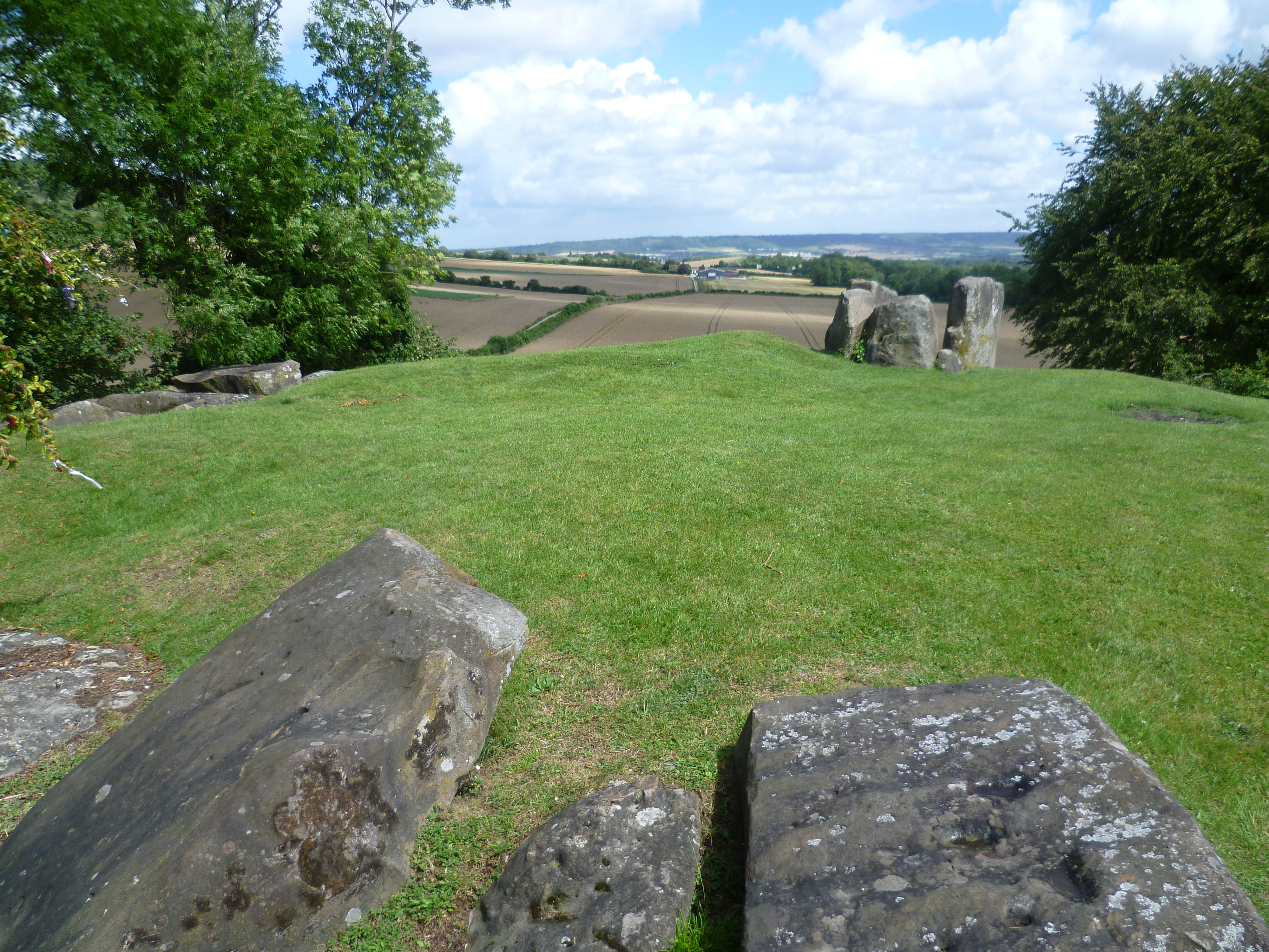 BarrowBarrow, ring-barrow · 1076 yd
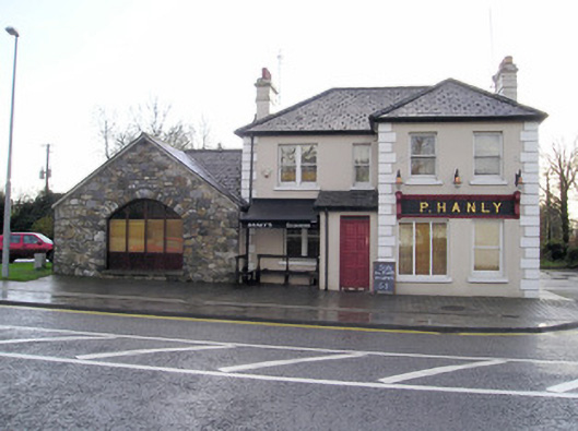 P. Hanlyhouse · 1081 yd
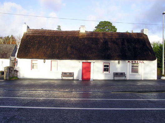 M. O'Neillhouse · 1146 yd
 Field system in KnockaneaField system · 1164 yd
 CastleCastle, unclassified · 1409 yd
 Bawn in CarrigarreelyBawn · 1.1 mi
 St Lawrence's WellSpring · 2.1 mi
 Wych ElmWych Elm · 2.3 mi
 Graveyard in AbingtonGraveyard · 2.5 mi
 Sliev Felim WayVisitor information · 4.0 mi
 Banoge's WellSpring · 5.4 mi
 Skool HillMountain / peak · 5.4 mi