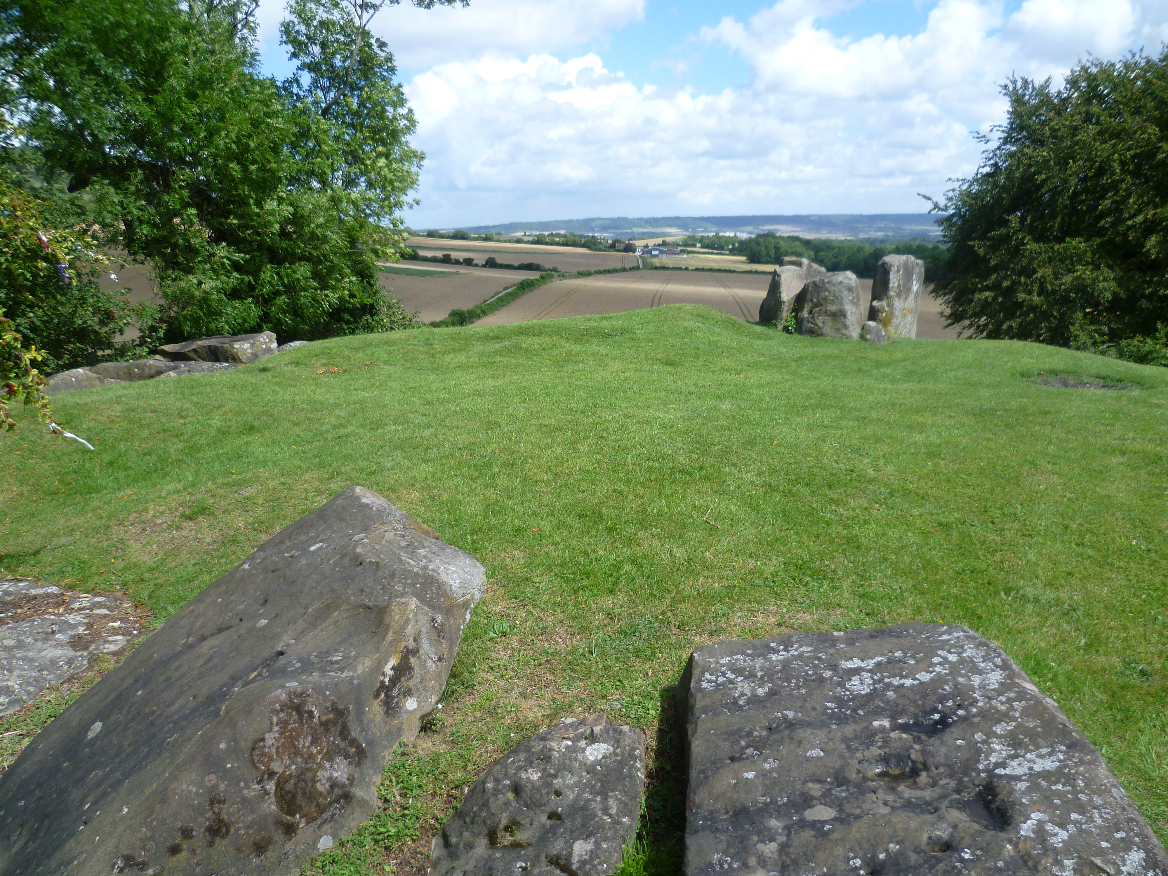
What is recorded here
On poorly drained floodplains of the Groody River which lies 55m to W. Identified by James Finucane (1993) as Site B and described as a small earthen mound (base Wth 5m) enclosed by a shallow fosse with external bank which may have been the remains of a possible ring-barrow (overall diam. 10m). Not depicted on the OS maps. Outline of mound visible on earlier OSi orthoimagery. Outline of barrow is clearly visible on Google Earth orthoimage taken 06/02/2018.
See attached Google Earth orthoimage
Compiled by: Martin Fitzpatrick
Date upload: 7 July 2020
A ring-barrow, likely dating to the Early Bronze Age, associated with burial practices in lowland riverine environments; its fosse and external bank indicate a defensive or ritual function alongside commemorative purposes.
The monument record does not grant public access. Check the route and ask the landowner before entering private land.
- What survives
- Recorded monument
Places near here
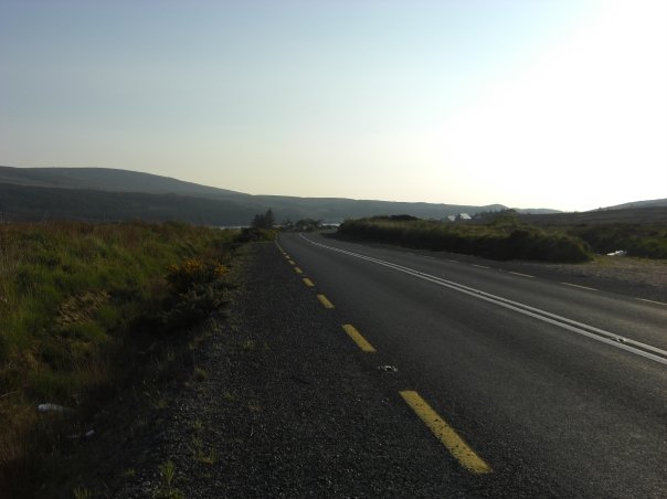 RoadRoad, road/trackway · 598 yd
 An Tobarhouse · 932 yd
 Enclosure in CloghnadrominEnclosure · 960 yd
 IndicatedChildren's burial ground · 1584 yd
 Bawn in CarrigarreelyBawn · 1.0 mi
 CastleCastle, unclassified · 1.2 mi
 St Lawrence's WellSpring · 2.1 mi
 Wych ElmWych Elm · 2.2 mi
 Graveyard in AbingtonGraveyard · 2.9 mi
 Sliev Felim WayVisitor information · 4.2 mi
 Campus MapVisitor information · 5.2 mi
 Fountain SculptureHeritage attraction · 5.3 mi
Other information
Photo: Credit not shown in the picture search · Rights wording not checked; contact us if this picture should be removed