What is recorded here
Scrub and wet pasture now hide the broken circle at Tobermalug, but a road still cuts through the western edge of the ancient earthworks. The fort is small enough to walk across in a minute, yet its ditch, bank and scarped edge show that people shaped the land on purpose. It may have been a homestead, a boundary marker or a place of seasonal use. The fairies keep the remainder, waiting for human certainty to thin before they reveal what the circle was really for.
Situated immediately E of a road in low-lying, poorly-drained pasture on a gentle W-facing slope. The monument consists of a roughly circular area (17.2m E-W; 15.7mN-S) defined by a scarped edge (Wth 3.1m; H 0.8m) with an external fosse (Wth 4.5m) and a counter-scarp bank (int. H 0.3m; Wth 2.6m; ext. H 0.2m) to S. Scrub overgrowth obscures the scarp from NE to SW. The road/field boundary truncates the enclosing element at W. The interior slopes down gently to SE.
Compiled by: Denis Power
Date of upload: 19 June 2013
The monument record does not grant public access. Check the route and ask the landowner before entering private land.
- What survives
- Recorded monument
Places near here
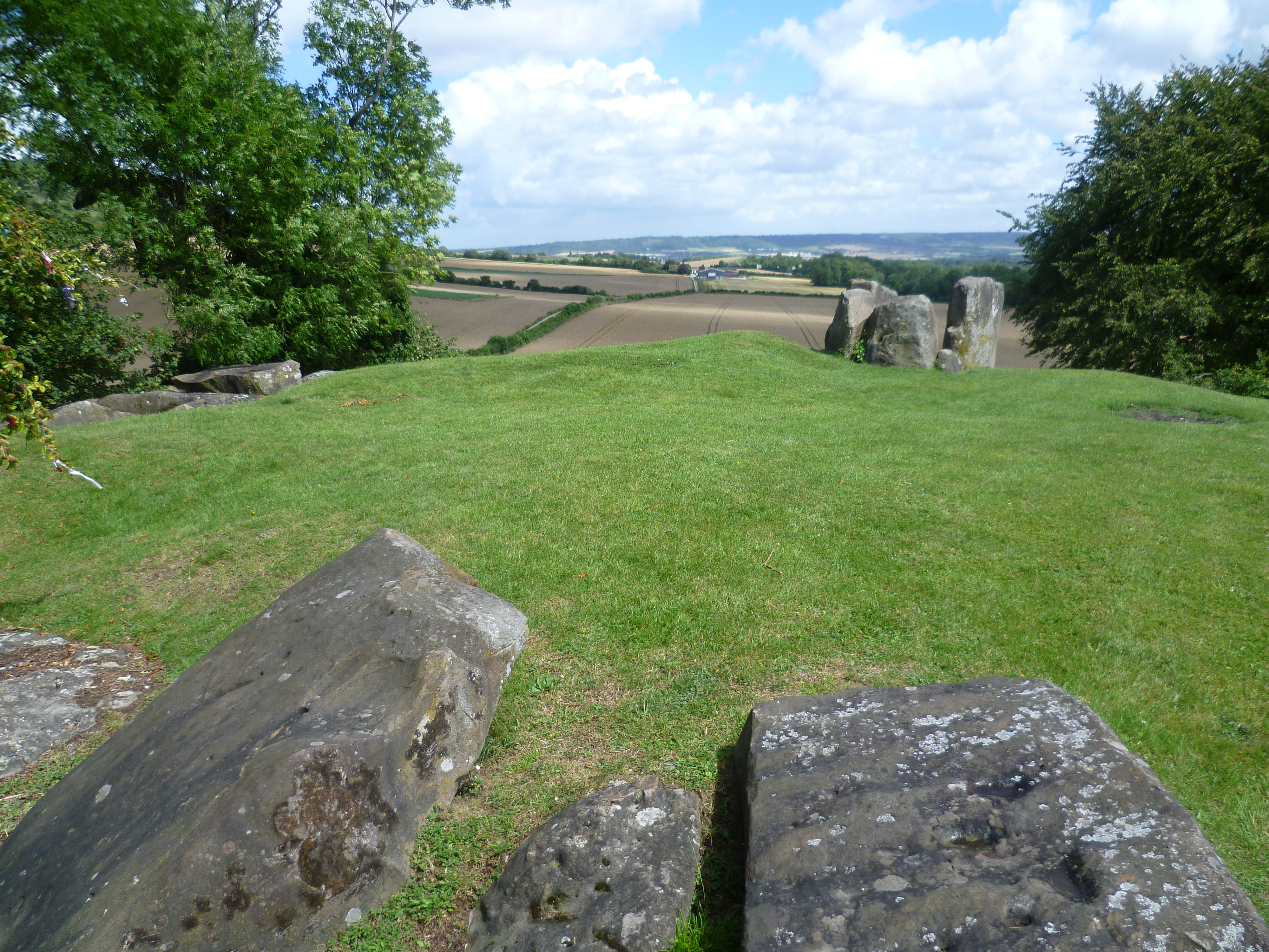 BarrowBarrow, ring-barrow · 834 yd
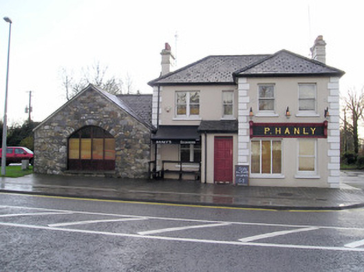 P. Hanlyhouse · 1342 yd
 Field system in KnockaneaField system · 1404 yd
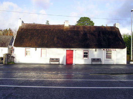 M. O'Neillhouse · 1406 yd
 CastleCastle, unclassified · 1495 yd
 Bawn in CarrigarreelyBawn · 1757 yd
 St Lawrence's WellSpring · 2.0 mi
 Wych ElmWych Elm · 2.2 mi
 Graveyard in AbingtonGraveyard · 2.6 mi
 Sliev Felim WayVisitor information · 4.1 mi
 Skool HillMountain / peak · 5.3 mi
 Banoge's WellSpring · 5.3 mi