What is recorded here
Fairy fort in Tirlickeen, County Longford: a 40m circular enclosure with a wide low earth-and-stone bank, shallow fosse and outer bank, now partly absorbed into a field boundary. The outer bank has been changed and reused, while the inner shape still stands out in level pasture. A gap at the east-north-east may have been the entrance, and the laneway beside it suggests the place has always belonged to movement rather than display.
In low-lying, level pasture. A raised circular area (diam. c. 40m) enclosed by a much-denuded, wide, low bank of earth and stone (Wth 5.2m; H 0.15-0.35m) with a wide, shallow intervening fosse (Wth 4m; D 0.8m) and an outer bank (Wth 1.8m; H 0.3-0.5m). The outer bank has been substantially modified and incorporated into a field boundary. From WNW–N–NE the monument is skirted by a laneway. A break (Wth 3.5m) in the bank at ENE may mark the original entrance.
Compiled by: Patrick F. O'Donovan
Date of upload: 18 January 2012
The monument record does not grant public access. Check the route and ask the landowner before entering private land.
- What survives
- Recorded monument
Places near here
 Pake Bridgebridge · 899 yd
 Tober PatrickHoly well · 1096 yd
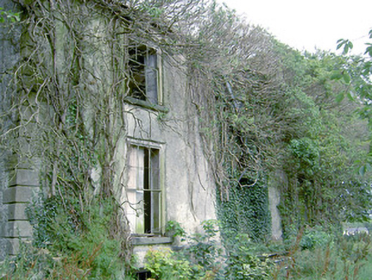 Lismacmurrough Househouse · 1099 yd
 Bawn in TirlickeenBawn · 1200 yd
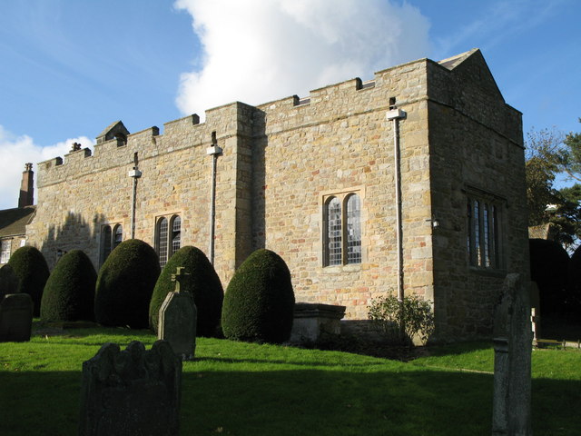 Church (in Ruins)Graveyard · 1338 yd
 Barry CastleCastle, unclassified · 1.8 mi
 Corlea Bog Walk Canal BranchWalking route · 2.0 mi
 Corlea Trackway Interpretative CentreHeritage attraction · 2.2 mi
 Corlea Bog Walk Blue LoopWalking route · 2.6 mi
 Leveret IslandIslet · 5.1 mi
 InchbofinIslet · 6.0 mi
 Graveyard in Curry (ardagh By., Coolamber Ed)Graveyard · 6.7 mi