What is recorded here
Fairy fort / earthen ringfort in Stonepark (ballintober South By.) is a fairy fort or earthen ringfort in Stonepark (ballintober South By.), County Roscommon, Ireland. It occupies the south end of a broad hill as an oval grass-covered area measuring 76 metres north-northeast to south-southwest and 59 metres west-northwest to east-southeast. An earthen bank with bushes and a scarp define the perimeter, while a west-northwest to east-southeast field wall bisects the monument and reduces the visibility of the northern boundary. No visible fosse or identifiable original entrance remains.
At the S end of a broad hill. Oval grass-covered area (dims 76m NNE-SSW; 59m WNW-ESE) defined by an earthen bank with some bushes (Wth 3.6-5.2m; int. H 0.1-0.25m; ext. H 0.3-0.65m) SE-S-WNW and a scarp (H 0.3m) elsewhere. There is no visible fosse or identifiable original entrance, and the monument is bisected by a WNW-ESE field wall and the perimeter is less evident N of this.
Compiled by: Michael Moore
Date of upload: 24 August 2010
The monument record does not grant public access. Check the route and ask the landowner before entering private land.
- What survives
- Recorded monument
Places near here
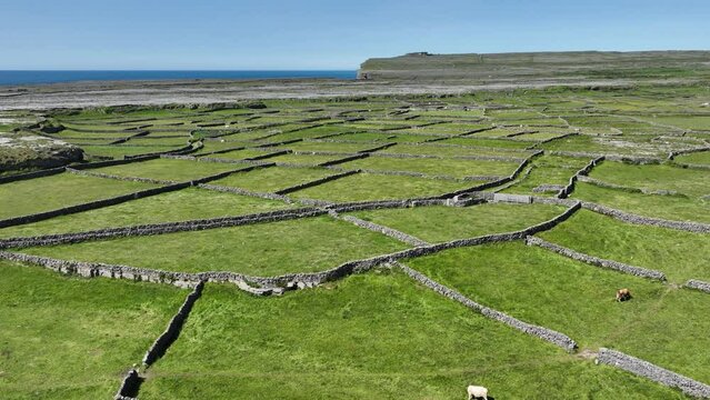 Field system in Ballygalda OR TrustField system · 1410 yd
 Fulacht fia in Ballygalda OR TrustFulacht fia · 1668 yd
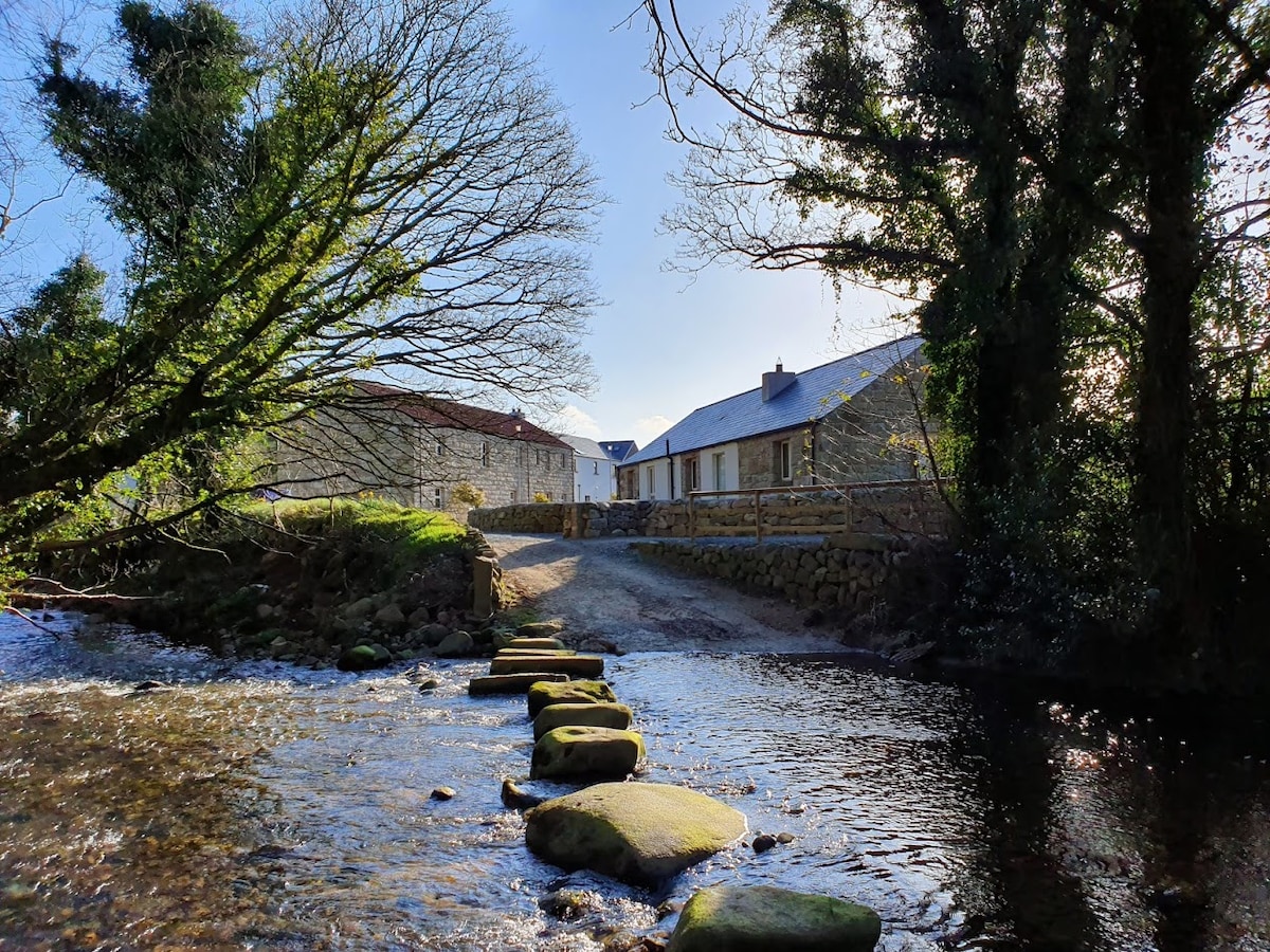 MillMill, unclassified · 1.2 mi
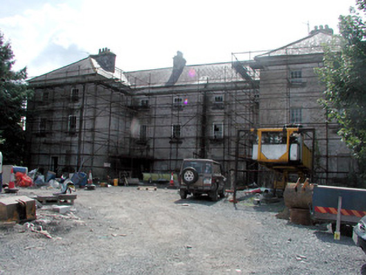 barracksbarracks · 1.4 mi
 CastleCastle, unclassified · 1.4 mi
 Bolinree WoodForest · 1.6 mi
 Derrydonnell ForestForest · 2.1 mi
 Roscommon CastleCastle · 2.3 mi
 Hangman's HillMountain / peak · 5.0 mi
 Sally IslandIslet · 5.3 mi
 Castle KellyCastle, tower house · 6.5 mi
 Mount MaryMountain / peak · 7.8 mi