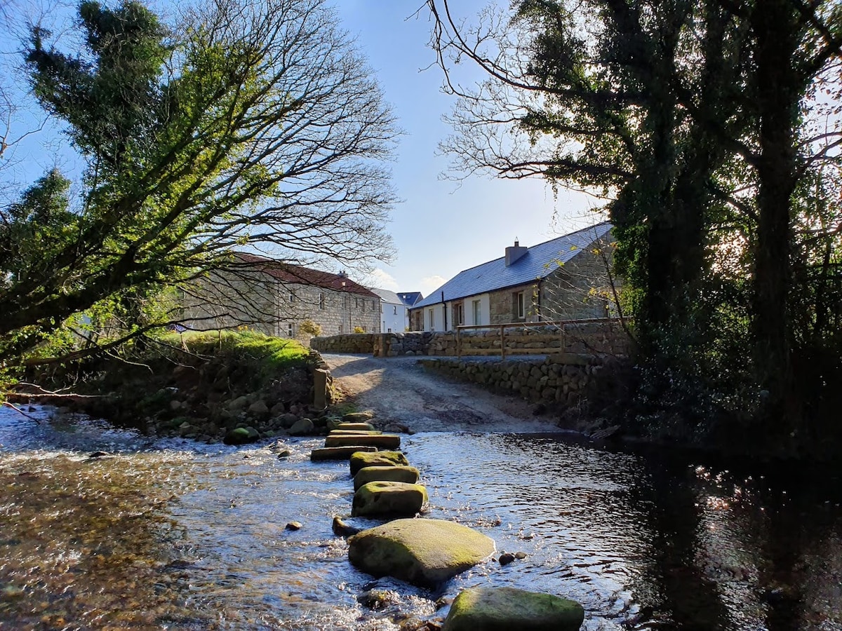
What is recorded here
A mill is marked on the Strafford map of c. 1636 (Simington 1949), and a mill is marked on the 1837 and 1927 eds. of the OS 6-inch map. Situated on the S bank of the NW-SE River Hind, on the E side of a road. There is no evidence of a mill, but a millrace which has been widened (Wth of base 6m; D 2-2.3m; L c. 50m), probably in the 18th or 19th century, survives, the rest of it being covered with spoil.
Compiled by: Michael Moore
Date of upload: 24 August 2010
The monument record does not grant public access. Check the route and ask the landowner before entering private land.
- What survives
- Recorded monument
Places near here
 IndicatedFairy fort / earthen ringfort · 1485 yd
 Bolinree WoodForest · 1491 yd
 Derrydonnell ForestForest · 1690 yd
 St. Catherines WellHoly well · 1.1 mi
 Church in CarrowroeChurch · 1.2 mi
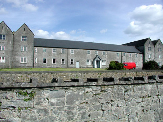 Sacred Heart Hospitalworkhouse · 1.2 mi
 Roscommon CastleCastle · 2.1 mi
 Hangman's HillMountain / peak · 3.9 mi
 CastleCastle, unclassified · 4.6 mi
 Galey CastleCastle, tower house · 5.1 mi
 Galey BayBay · 5.2 mi
 Sally IslandIslet · 6.4 mi
Other information
Photo: Credit not shown in the picture search · Rights wording not checked; contact us if this picture should be removed