
What is recorded here
On a level landscape, c. 20m from the W bank of the S-N Hind River. Circular grass-covered mound of broken and burnt stone (diam. of base 16.5m E-W; 15.3m N-S; H 0.5-1.2m) with a slight hollow (diam. 4-4.5m; D 0.2-0.3m) towards the perimeter at E.
Compiled by: Michael Moore
Date of upload: 24 August 2010
The monument record does not grant public access. Check the route and ask the landowner before entering private land.
- What survives
- Recorded monument
Places near here
 IndicatedCastle, unclassified · 230 yd
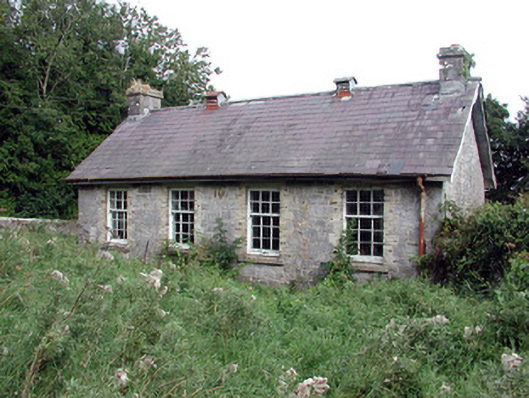 Saint Patrick's National Schoolschool · 1083 yd
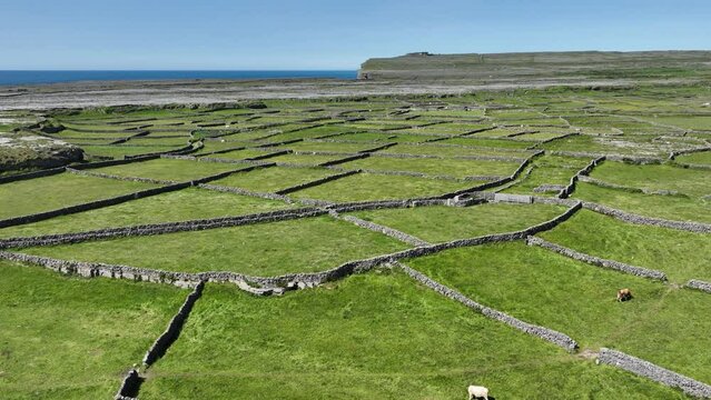 Field system in Ballygalda OR TrustField system · 1214 yd
 Church (Site of)Church · 1431 yd
 Church (in Ruins)Church · 1718 yd
 CastleCastle, unclassified · 1.1 mi
 Bolinree WoodForest · 1.4 mi
 TogherfinnForest · 1.8 mi
 Roscommon CastleCastle · 3.2 mi
 Hangman's HillMountain / peak · 4.7 mi
 Sally IslandIslet · 5.0 mi
 Mount MaryMountain / peak · 7.6 mi
Other information
Photo: Credit not shown in the picture search · Rights wording not checked; contact us if this picture should be removed