What is recorded here
Fairy fort / earthen ringfort in Stonepark (ballintober South By.) is a fairy fort or earthen ringfort in Stonepark (ballintober South By.), County Roscommon, Ireland. The subcircular grass-covered area measures 35m north-south and 30m east-west, defined by a slight 0.3m scarp towards the top of a NE-facing slope. It appeared only on the 1927 edition of the OS 6-inch map as a circular feature about 30m across.
Marked only on the 1927 ed. of the OS 6-inch map as a circular feature (diam. c. 30m) situated towards the top of a NE-facing slope. Subcircular grass-covered area (dims. 35m N-S; 30m E-W) defined by a slight scarp (H 0.3m).
Compiled by: Michael Moore
Date of upload: 24 August 2010
The monument record does not grant public access. Check the route and ask the landowner before entering private land.
- What survives
- Recorded monument
Places near here
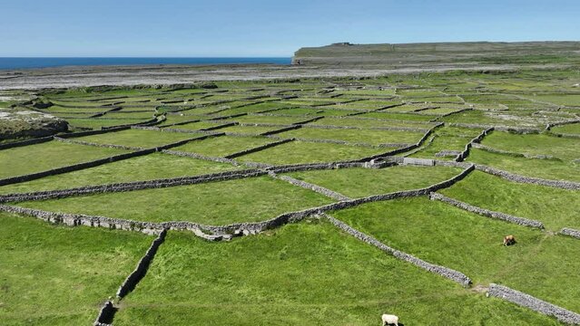 Field system in Ballygalda OR TrustField system · 1.0 mi
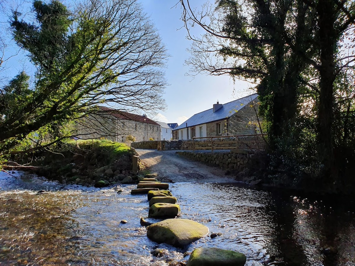 MillMill, unclassified · 1.1 mi
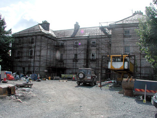 barracksbarracks · 1.2 mi
 Fulacht fia in Ballygalda OR TrustFulacht fia · 1.2 mi
 Bolinree WoodForest · 1.6 mi
 CastleCastle, unclassified · 1.7 mi
 Derrydonnell ForestForest · 2.0 mi
 Roscommon CastleCastle · 2.0 mi
 Hangman's HillMountain / peak · 4.9 mi
 Sally IslandIslet · 5.4 mi
 Castle KellyCastle, tower house · 6.7 mi
 Mount MaryMountain / peak · 8.0 mi