What is recorded here
Scartnamuck holds a twenty-five-metre earthen ring on a sun-warmed slope, watching Castlenalact Lake and the wide horizon. A 1775 map called it a Danes Fort and placed a limekiln at its edge, yet no kiln remains, only a curved bank, a shallow ditch and large stones dumped against its north face. The shape may be a ancient fortress, a boundary mound or a forgotten craft site, but the land still keeps its line.
In pasture, on a SE-facing slope, with commanding views W-E; Castlenalact Lake is visible to the SE. Indicated as a circular 'Danes Fort', with a limekiln on its S edge, on a 1775 map (no. 31) by B. Scalé (private collection). A roughly circular depression (diam. c. 25m) defined by a slight rise along the E and S quadrant. An earthen field boundary (Wth 4.6m; int. H 1.2m; ext. H 0.7m) curves to form an arc NNW-NNE and may incorporate the remains of an outer bank. Large stones have been dumped against its N face. The slope down to this possible bank is more pronounced here than elsewhere along the field boundary and may be the remains of a fosse (Wth 3.5m; D 0.35m). There are no visible remains of the limekiln indicated on Scalé's map.
The above description is derived from 'The Archaeological Inventory of County Cork. Volume 5' (Dublin: Stationery Office, 2009).
Date of upload: 22 December 2009
This remains an important historical record, but the official description says the monument is no longer visible or has been destroyed. The monument record does not grant public access. Check the route and ask the landowner before entering private land.
- What survives
- No visible remains or recorded as destroyed
Places near here
 Castle Nalacht, site ofCastle, unclassified · 923 yd
 Scartnamuck Househouse · 1011 yd
 Holy well in Castlenalact (kinalmeaky By., Brinny Par.)Holy well · 1331 yd
 GallaunsBoulder-burial · 1350 yd
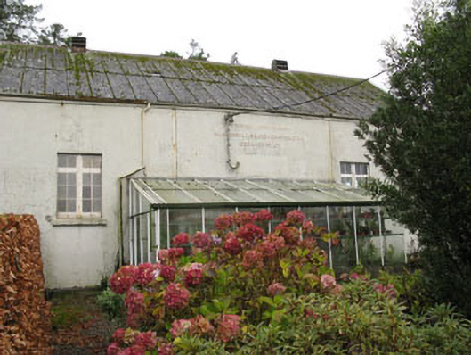 Templemartin Creamerycreamery · 1663 yd
 Mount Pleasant WoodWood · 1.2 mi
 Graveyard in KilnagnadyGraveyard · 2.1 mi
 Towers (in Ruins)House, fortified house · 2.8 mi
 Bandon War MemorialMemorial · 3.5 mi
 Cottage Road WoodWood · 3.8 mi
 Carbury's WellSpring · 4.2 mi
 Lisnaboul (Site of)Fairy fort / earthen ringfort · 1605 yd