What is recorded here
Fairy fort / earthen ringfort in Rockingham Demesne (boyle By., Rockingham.ed) is a fairy fort or earthen ringfort in Rockingham Demesne (boyle By., Rockingham.ed), County Roscommon, Ireland. It occupies an oval grass-covered area 33m east-west and 21m north-south on a northwest-facing slope. An earthen bank surrounds the space, reaches 1.4m externally in places, and shows outer facing stones along the northeast section. Three other raths sit within 160m to the southwest, northeast and east-northeast.
Marked only on the 1914 ed. of the OS 6-inch map, and situated on a NW-facing slope. Oval grass-covered area (dims 33m E-W; 21m N-S) defined by an earthen bank (Wth 4.5-6.5m; int. H 0.8-1m; ext. H 0.2-0.3m) E-SW and NW-NE (Wth 5.5m; int. H 0.3m; ext. H 1.2-1.4m), where it has outer facing stones. The perimeter is reduced to a scarp (at W: H 0.8m) elsewhere. There is no visible fosse or entrance. Rath (RO006-100----) is c. 70m to the SW, while raths (RO006-098----) and (RO006-102001-) are c. 120m to the NE and c. 160m to the ENE respectively.
Compiled by: Michael Moore
Date of upload: 24 August 2010
The monument record does not grant public access. Check the route and ask the landowner before entering private land.
- What survives
- Recorded monument
Places near here
 IndicatedFairy fort / earthen ringfort · 180 yd
 Embanked enclosureFairy fort / earthen ringfort · 195 yd
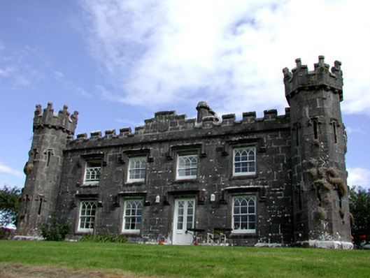 Rockingham Househunting/fishing lodge · 637 yd
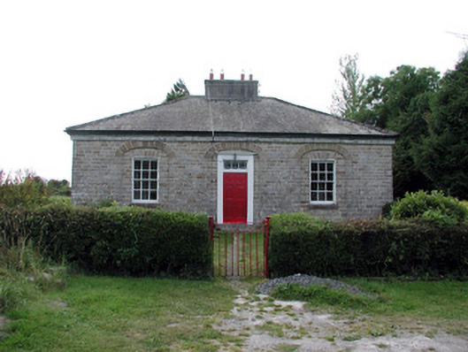 worker's houseworker's house · 822 yd
 Longford HillMountain / peak · 1159 yd
 Horse-chestnutHorse-chestnut · 1.0 mi
 Lough Key Forest ParkWood · 1.2 mi
 Western RedcedarWestern Redcedar · 1.2 mi
 Castle IslandIslet · 1.2 mi
 Green IslandIslet · 1.3 mi
 Erris BayBay · 1.8 mi
 Moylung Castle (in ruins)Castle, unclassified · 2.7 mi