What is recorded here
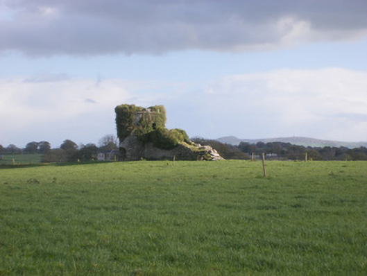
Half a circle of ancient earth and stone still stands in the Riddlestown pasture, its missing edge swallowed by a later field wall. Cattle have worn two gaps through the bank, proving the fort never stopped interacting with the living world. The limestone slope holds the shape of a place once large enough to keep out rain, danger, or perhaps the fairies themselves.
In pasture, in area of limestone outcropping, on S-facing slope below brow of hill. Formerly circular area (diam. 37.7m N-S) enclosed by earth-and-stone bank NW->SW but otherwise truncated by linear N-S dry-stone field wall (now 30.8m E-W). Bank (int. H 0.4m; ext. H 0.85m), best preserved NE->SE, incorporates rock outcropping at NW and SSE. Cattle breaks in bank at SE (Wth 1.8m) and SSE (Wth 1.4m). Interior, largely clear of overgrowth but with exposed rock outcrops, slopes down to S.
Compiled by: Denis Power
Date of upload: 26 August 2011
See attached ASI aerial photographs ASIAP – taken on 04/03/2006.
The monument record does not grant public access. Check the route and ask the landowner before entering private land.
- What survives
- Recorded monument
Places near here
 TobernawathaHoly well · 426 yd
 kilnkiln · 540 yd
 TobernablahySpring · 725 yd
 Doondonnell Church (in ruins)Church · 799 yd
 Field system in CloghanaroldField system · 869 yd
 Bawn in Lisnacullia (connello Lower By.)Bawn · 1682 yd
 Castle MatrixCastle, tower house · 1.0 mi
 St. Kieran's WellSpring · 1.3 mi
 European ashEuropean ash · 2.7 mi
 Flat cemetery in CroaghFlat cemetery · 4.2 mi
 Little HeavenHeritage attraction · 6.4 mi
 Limerick GreenwayWalking route · 8.3 mi