What is recorded here
A 39km off-road walking and cycling route along a former railway line that connects Rathkeale, Newcastle West and Abbeyfeale
Places near here
Photo credits
- National Inventory of Architectural Heritage
- Mike Searle, Wikimedia Commons · CC BY-SA 2.0
- Created by Kglavin Modified Aug 2007 by Mike Christie, Wikimedia Commons · CC BY-SA 3.0
- jonleebotany, Wikimedia Commons · CC0
- A.-K. D., Wikimedia Commons · CC BY-SA 4.0
 bridge1.5 miIndicatedEnclosure · 1.6 mi
 viaduct1.6 mi
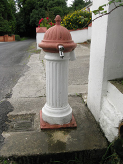 water pump1.6 miSugar HillMountain / peak · 1.7 mi
,_Newcastle_West,_Limerick_-_geograph.org.uk_-_1392672.jpg/250px-Castles_of_Munster,_Desmond_Hall_(Castle_Banqueting_Hall),_Newcastle_West,_Limerick_-_geograph.org.uk_-_1392672.jpg "Photo: Mike Searle, Wikimedia Commons · CC BY-SA 2.0") Templars Castle (in ruins)Castle, Anglo-Norman masonry castle · 3.4 miTobereenalaffinaSpring · 3.8 mi
Templars Castle (in ruins)Castle, Anglo-Norman masonry castle · 3.4 miTobereenalaffinaSpring · 3.8 mi Ardagh FortArchaeological place · 4.1 mi
 Glenquin CastleCastle · 5.2 miBarnagh HillMountain / peak · 5.4 mi
 Lawson's Cypress5.6 mi
 Saint Ite's WellSpring · 5.9 mi
More walking routes in County Limerick · All of County Limerick
What do you know about this place?