What is recorded here
Situated on a low rise, in flat, relatively low-lying pasture and tillage. Depicted on the revised 1913 ed. OS 25-inch map as a roughly circular-shaped earthwork. Levelled monument described in 1970 as a circular-shaped cropmark (diam. 47m) visible in tillage as a broad ring of dark brown gravelly soil in contrast to the surrounding field and assumed to be the backfilled fosse. This is further defined on the inner edge by a low, very smooth scarp from SSW-W-N-NNE. Monument is visible today as a circular-shaped cropmark now in pasture, on Digital Globe aerial photography.
Compiled by Alison McQueen, Vera Rahilly and Caimin O’Brien.
Date of upload: 09 July 2019
The monument record does not grant public access. Check the route and ask the landowner before entering private land.
- What survives
- Recorded monument
Places near here
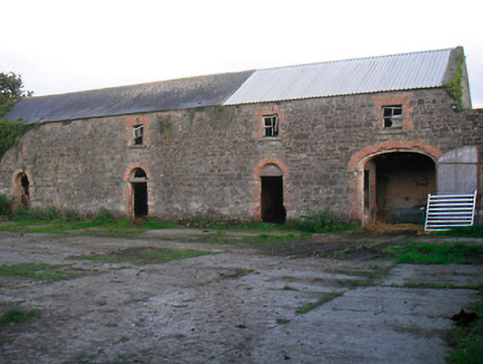 Curristown Housefarmyard complex · 460 yd
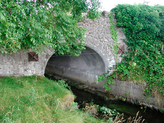 bridgebridge · 727 yd
 CastleCastle, ringwork · 1425 yd
 OutlinedFairy fort / earthen ringfort · 1450 yd
 CrossCross, Wayside cross · 1759 yd
 Rathwire Moat & CastleCastle, motte and bailey · 1.1 mi
 ScregganWood · 4.4 mi
 GinkgoGinkgo · 4.6 mi
 Croppies' GraveMemorial · 7.0 mi
 canal (section of)canal (section of) · 797 yd
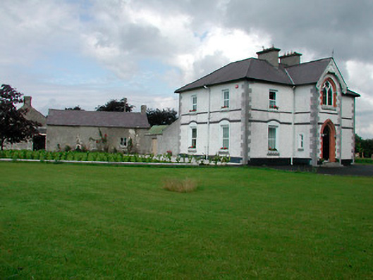 Saint Joseph'spresbytery/parochial/curate's house · 873 yd
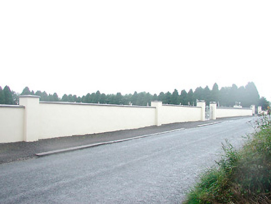 Saint Joseph's Cemeterygraveyard/cemetery · 1103 yd