What is recorded here
Fairy fort / earthen ringfort in Rathcool is a fairy fort or earthen ringfort in Rathcool, County Tipperary, Ireland. It occupies the summit of a flat-topped north-south ridge, with the Clashawley river about 70 metres to the west and pasture surrounding the site. Cahill recorded in 1982 that the 33-metre-diameter oval ringfort was upstanding, in good condition and showed slight evidence of an enclosing bank. The monument has since been levelled and is no longer visible at ground level.
On summit of flat-topped N-S ridge with Clashawley river c. 70m to W, in pasture. Monument has been levelled and is not visible at ground level. According to Cahill (1982) the ringfort (diam. 33m) was upstanding and in good condition in 1982 and consisted of 'low platform type; oval plan. Slight evidence of enclosing bank'.
Compiled by: Jean Farrelly
Date of upload: 26 August 2011
The monument record does not grant public access. Check the route and ask the landowner before entering private land.
- What survives
- Recorded monument
Places near here
 CastleCastle, ringwork · 136 yd
 Carrigeen CastleCastle · 935 yd
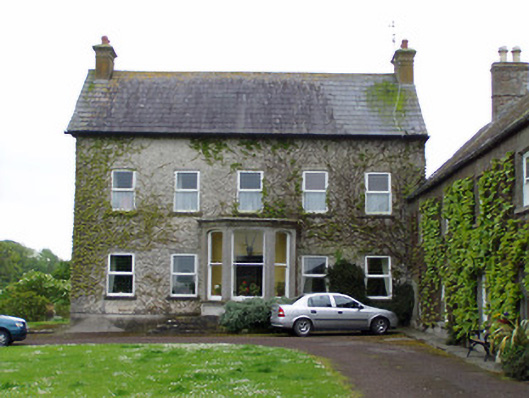 Rathcoole Castlehouse · 1242 yd
 RathavinFairy fort / earthen ringfort · 1310 yd
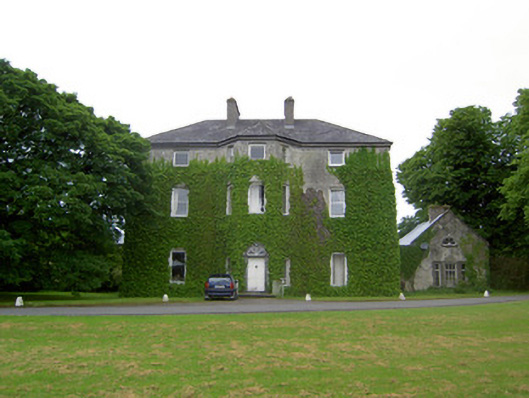 Anne's Giftcountry house · 1512 yd
 Enclosure in AnnesgiftEnclosure · 1.1 mi
 Kilknockan HillMountain / peak · 1.6 mi
 European YewEuropean Yew · 2.3 mi
 East GateMemorial · 2.3 mi
 Grove WoodForest · 3.4 mi
 Eagle HillMountain / peak · 5.0 mi
 IndicatedCastle, motte · 1280 yd