What is recorded here
A circular earthen ringfort, roughly 27 metres across, sits on the private demesne of Raheen House in County Limerick. Mapped in 1840 and still visible in aerial photos, the banked enclosure has watched the estate’s fields for centuries. People may have lived, hidden or simply marked boundary there before the house claimed the land. The fairies keep the circle intact while humans forget it exists.
On gently undulating pasture, on the private grounds of Raheen House. The site is described from cartographic and aerial photographic evidence only. Depicted as a circular-shaped earthwork standing on the demesne grounds of Raheen House 60m to SSW on the 1840 ed. OS 6-inch map. Described in 1997 by Celie O'Rahilly as a circular-shaped shaped area (approx. int. diam. 27m) enclosed by a bank (SMR File) 50m W of the gate lodge into Raheen House. Outline of tree-ringed monument clearly visible on Google Earth orthophotos taken 19/11/2019.
See attached Google Earth orthoimages
Compiled by: Edmond O’Donovan
Date of upload: 12 July 2020
The monument record does not grant public access. Check the route and ask the landowner before entering private land.
- What survives
- Recorded monument
Places near here
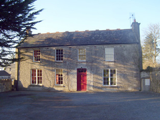 Raheen Househouse · 98 yd
 Enclosure in BallynagowanEnclosure · 506 yd
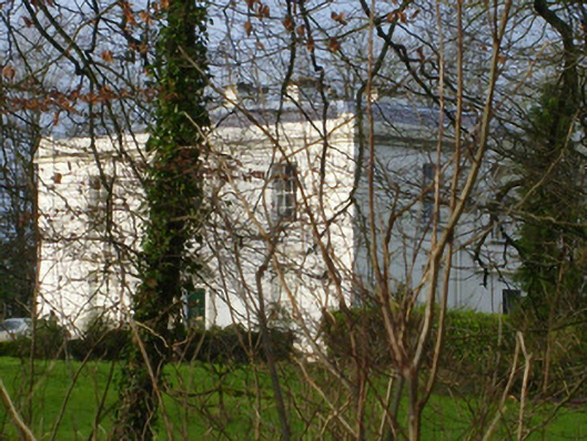 Rich Hillcountry house · 583 yd
 BarrowBarrow, unclassified · 618 yd
 CastleCastle, unclassified · 1625 yd
 Jackie PowerMemorial · 1.2 mi
 Castle Troy (in ruins)Castle, tower house · 2.0 mi
 Campus MapVisitor information · 2.8 mi
 Visitor CentreVisitor information · 2.8 mi
 Fountain SculptureHeritage attraction · 2.9 mi
 Graveyard in AbingtonGraveyard · 4.5 mi
 Seán Keating GalleryGallery · 5.1 mi