
What is recorded here
In reclaimed grassland, 100m E of the townland boundary with Carrowkeel. Enclosure (LI006-109---) 100m to E, ringfort (LI006-109----) 200m to the S. Monument identified from examination of 1:10,000 aerial photographs (OS5 2919; Nr 7509) where the outline of an enclosure was identified. This earthwork is not indicated on the 1840 OS 6-inch map or subsequent OS maps. The outline of a circular-shaped area (approx. diam. 30m) defined by a fosse with possible old watercourse at NE is clearly visible on Global Earth orthoimages taken 19/11/2019 and 23/05/2018. Traces of a second outer ditch 13m to SE of inner ditch is visible on this image .
See attached Google Earth images taken 19/11/2019 and 23/05/2018
Compiled by: Fiona Rooney
Date of upload: 15 June 2020
The monument record does not grant public access. Check the route and ask the landowner before entering private land.
- What survives
- Recorded monument
Places near here
 Enclosure in BallynagowanEnclosure · 122 yd
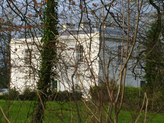 Rich Hillcountry house · 483 yd
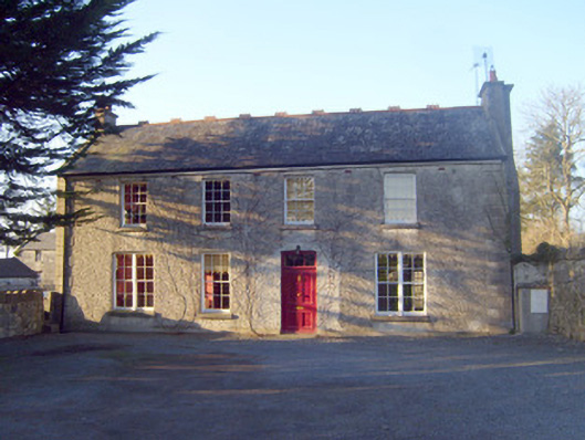 Raheen Househouse · 570 yd
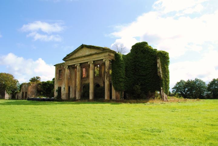 Enclosure in MountshannonEnclosure · 1091 yd
 Jackie PowerMemorial · 1459 yd
 CastleCastle, unclassified · 1.3 mi
 Castle Troy (in ruins)Castle, tower house · 1.6 mi
 Campus MapVisitor information · 2.4 mi
 Visitor CentreVisitor information · 2.5 mi
 Fountain SculptureHeritage attraction · 2.5 mi
 Graveyard in AbingtonGraveyard · 4.7 mi
 King's IslandIsland · 4.7 mi
Other information
Photo: Credit not shown in the picture search · Rights wording not checked; contact us if this picture should be removed