What is recorded here
National Monument No. 572. Described in 1970 as a ‘circular slightly uneven enclosure, sloping slightly from N-S bounded by a scarp with slight remains of an earthen bank on its upper edge and with remains of a fosse at its foot. The bank is best preserved from NE-E. Elsewhere it rises barely above the interior. The bank is denuded to the level of the interior from SW-S-SE and U-shaped fosse is not visible there. There is a modern bank outside the scarp on the SE. The shallow fosse is well defined from SW-W-N. From N-E-SE it is very slight. There are some modern depressions inside the bank on the N. A slight gap (Wth 5m-1.4m) on the SE may represent the entrance. No visible trace of a causeway. Situated on the S gentle slope of a natural rise of good pasture. The site is largely overgrown with blackthorn and scrub’ (SMR File 14/04/1970).
Compiled by: Caimin O'Brien
Date of upload: 26 January 2016
This remains an important historical record, but the official description says the monument is no longer visible or has been destroyed. The monument record does not grant public access. Check the route and ask the landowner before entering private land.
- What survives
- No visible remains or recorded as destroyed
Places near here
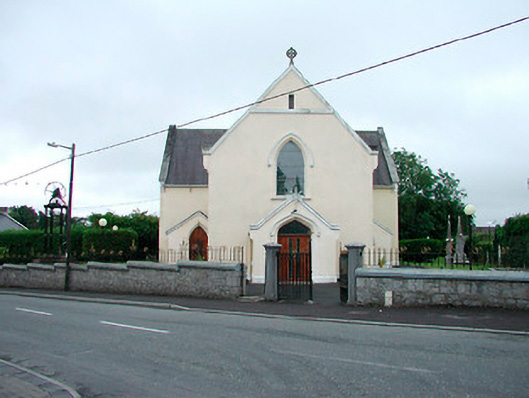 Saint Brigid's Catholic Churchchurch/chapel · 627 yd
 IndicatedFairy fort / earthen ringfort · 686 yd
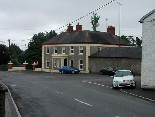 Riverview Househouse · 690 yd
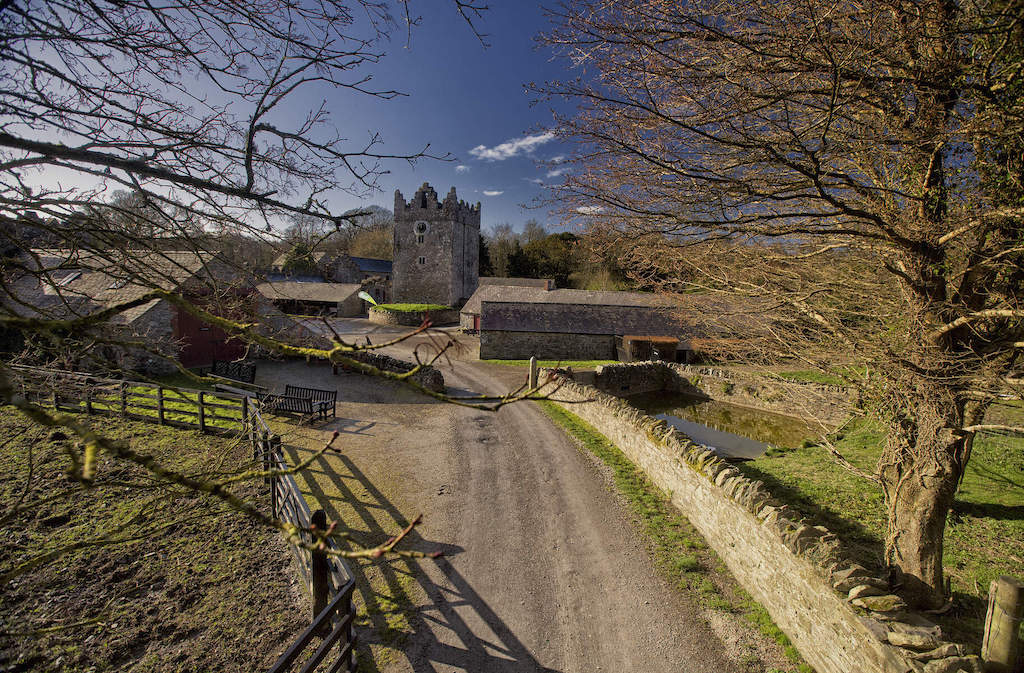 CastleCastle, unclassified · 1489 yd
 Enclosure in Joristown LowerEnclosure · 1.1 mi
 Rathwire Moat & CastleCastle, motte and bailey · 2.0 mi
 ScregganWood · 3.4 mi
 GinkgoGinkgo · 4.2 mi
 Croppies' GraveMemorial · 7.2 mi
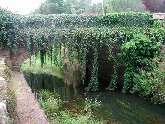 bridgebridge · 734 yd
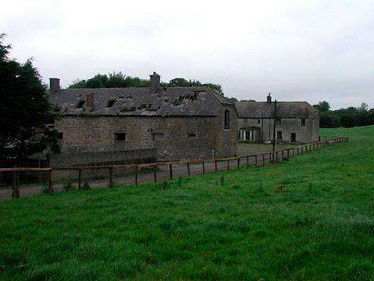 Joristown Housefarmyard complex, house · 735 yd
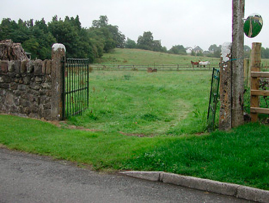 gates/railings/wallsgates/railings/walls · 888 yd