What is recorded here
Fairy fort in Raclaghy, County Cavan: a raised circular area about 35 metres across, enclosed by two low wide banks of earth and stone with a shallow fosse between them. Its original entrance faced east, where the outer bank and fosse are still faintly discernible; a modern field boundary now cuts through the northern and north-eastern edge, yet the ditch remains visible beyond it. People may have lived, herded or hidden there before the fields changed, while local imagination still calls it a fairy fort because such rings resist ordinary explanation.
Raised circular area (int. diam. c. 35m) enclosed by two low, wide banks of earth and stone with a wide and shallow intermediate fosse. Only the outline of the outer bank and fosse is discernible at E. From NNW-N-NE a modern field boundary cuts through the enclosing elements. However, the fosse is distinguishable outside this boundary. Original entrance at E.
The above description is derived from the published 'Archaeological Inventory of County Cavan' (Dublin: Stationery Office, 1995). In certain instances the entries have been revised and updated in the light of recent research.
Date of upload/revision: 22 December 2008
The monument record does not grant public access. Check the route and ask the landowner before entering private land.
- What survives
- Recorded monument
Places near here
 IndicatedFairy fort / earthen ringfort · 1416 yd
 St. Patricks WellsHoly well · 1515 yd
 CastleCastle, motte and bailey · 1.0 mi
 Church (in Ruins)Church · 1.1 mi
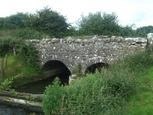 Ballinacree Bridgebridge · 1.2 mi
 Bob's GroveForest · 1.6 mi
 Fennor LowerMountain / peak · 2.4 mi
 Ross CastleCastle, tower house · 2.8 mi
 Mount FortuneMountain / peak · 2.8 mi
 Wall IslandIslet · 2.9 mi
 Memorial CrossMemorial · 2.9 mi
 Stony IslandIslet · 3.0 mi