
What is recorded here
Situated on a slight rise. This is probably the parish church of Kilbride, although most of the parish is in Co. Cavan, and there is no evidence that there was ever a graveyard around it. The churches of Tibermessan and Tiperde are listed in the Papal Taxation of 1303 (O’Connell 1965, 173), and the latter name might have derived from Tober Bríd – St. Bridget’s Well. At its Suppression in 1540 the tithes of Kylebrede church belonged to St. Mary’s abbey in Kells (ME017-044039-) (White 1943, 263). Ussher (1622) describes the church and chancel of Castlecorre as repaired (Erlington 1847-64, 1, cxvii). According to Dopping’s Visitation (1682-5) the church and chancel of Castlecor, also known as Kilbride, were in disrepair although the parishioners were repairing it and this was completed by 1693. There was no enclosure around the church (Ellison 1975, 10).
This is the remains of a structure orientated NW-SE. Sections of the SW and NW walls survive with portion of a window surround in the NW wall. The full outline can be traced (ext. dims 15.5m NW-SE; 7.4m NE-SW) except for the NE wall, which is completely absent. There is no trace of an enclosure or of burial. Castlecor motte (ME008-011----) is c. 120m to the NW, and the motte and bailey at Glenboy (ME008-013----) are c. 700m to the ESE.
The above description is derived from the published 'Archaeological Inventory of County Meath' (Dublin: Stationery Office, 1987). In certain instances the entries have been revised and updated in the light of recent research.
Compiled by: Michael Moore
Date of upload/revision: 25 July 2014
A local church or high cross; wider significance not recorded.
This remains an important historical record, but the official description says the monument is no longer visible or has been destroyed. The monument record does not grant public access. Check the route and ask the landowner before entering private land.
- What survives
- No visible remains or recorded as destroyed
Places near here
 CastleCastle, motte and bailey · 133 yd
 St. Patricks WellsHoly well · 1237 yd
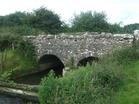 Ballinacree Bridgebridge · 1513 yd
 Cave FortFairy fort / earthen ringfort · 1747 yd
 European BeechEuropean Beech · 1.4 mi
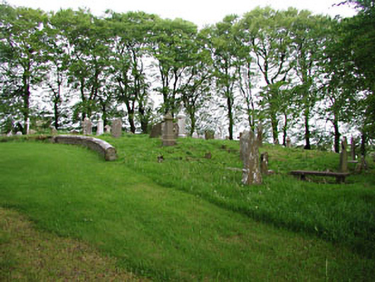 graveyard/cemeterygraveyard/cemetery · 1.4 mi
 The MoatCastle, motte and bailey · 1.6 mi
 Fennor LowerMountain / peak · 1.7 mi
 Mount FortuneMountain / peak · 1.7 mi
 Memorial CrossMemorial · 1.8 mi
 Mullaghmeen ForestPicnic place · 3.4 mi
 C11Named rock · 3.7 mi
Other information
Photo: Credit not shown in the picture search · Rights wording not checked; contact us if this picture should be removed