What is recorded here
Fairy fort is a vanished earthen ringfort, but its ghost still marks the soil. A forty-five metre circle, rectangular annexe and small eastern paddock appear only when dry grass grows uneven above buried ditches. Ivor Kenny first read that hidden shape, and the site remains a quiet test of human memory: build once, disappear, yet refuse to stop affecting the land.
Located on a slight W-E ridge. The cropmark of a circular area (diam. c. 45m) defined by a single, continuous fosse feature is visible on the OSI series of aerial photographs (1995). There is a rectangular annexe (dims c. 40m NE-SW; c. 30m NW-SE) defined by single fosse features attached to the NW, and there is smaller paddock (dims c. 15m x c. 15m) defined by single ditch features in the E corner of the annexe. It was first identified by Ivor Kenny.
See the attached view from Map Genie (1995)
Compiled by: Michael Moore
Date of upload: 19 December, 2014
The monument record does not grant public access. Check the route and ask the landowner before entering private land.
- What survives
- Recorded monument
Places near here
 Enclosure in PortEnclosure · 41 yd
 Enclosure in MitchellstownEnclosure · 609 yd
 Church (in ruins)Church · 838 yd
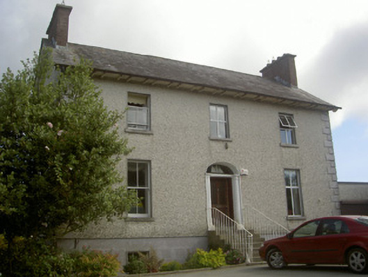 Seaview Househouse · 1326 yd
 IndicatedCastle, tower house · 1.6 mi
 Graveyard in DysartGraveyard · 2.6 mi
 Moneyveg WoodForest · 2.7 mi
 BarmeathCastle, tower house · 2.9 mi
 Sweet baySweet bay · 2.9 mi
 Tullydonnell HillMountain / peak · 2.9 mi
 Chapel (in Ruins), GraveyardChurch · 3.4 mi
 MonasterboiceEarly monastic site · 7.4 mi