What is recorded here
You need to judge the completeness of the evidence and the clarity of the communicated result.
The following description is derived from both the published 'Archaeological Inventory of County Louth' (Dublin: Stationery Office, 1986) and the 'Archaeological Survey of County Louth' (Dublin: Stationery Office, 1991). In certain instances the entries have been revised and updated in the light of recent research.
Date of upload/revision: 17 July 2007
Oval area (int. dims. 51m NW-SE, 44m NE-SW) enclosed by much-degraded earthen bank (Wth 6.5m, H 0.8m internally, 1.3m externally) with traces of external fosse (Wth 2.5m, D 0.6m) only visisble at SW. The fosse has been recut as a field drain in the NW quadrant, and is defaced by modern outhouses at N and a modern roadside fence at E.
The monument record does not grant public access. Check the route and ask the landowner before entering private land.
- What survives
- Recorded monument
Places near here
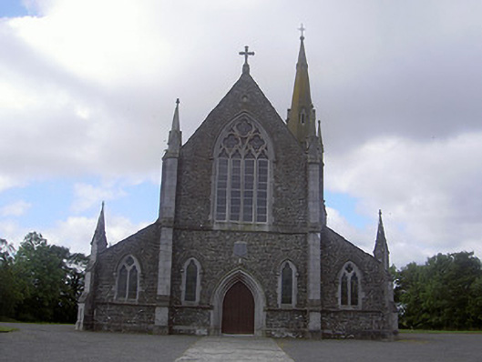 Saint Colmcille's Catholic Churchchurch/chapel · 943 yd
 Sally Cottagehouse · 972 yd
 Enclosure in PortEnclosure · 986 yd
 Enclosure in MitchellstownEnclosure · 1286 yd
 IndicatedCastle, tower house · 1.3 mi
 Graveyard in DysartGraveyard · 2.4 mi
 Tullydonnell HillMountain / peak · 2.5 mi
 Moneyveg WoodForest · 2.6 mi
 BarmeathCastle, tower house · 2.7 mi
 Sweet baySweet bay · 2.7 mi
 Chapel (in Ruins), GraveyardChurch · 3.5 mi
 Drummeenagh HillMountain / peak · 6.1 mi