What is recorded here
Fairy forts are human ringforts misnamed by folklore, but this one in Newtown is a true anomaly: a square enclosure on the 1842 map, yet circular in aerial soilmarks. The land was levelled for tillage, erasing the moat and flattening the bank into a low rise. What remains is a ghost of geometry, neither fully square nor round, waiting for someone to explain why the earth remembered two shapes at once.
In tillage, atop rise on SSW-facing slope. Depicted as hachured square enclosure (c. 25m N-S; c. 25m E-W) on 1842 OS 6-inch map. Levelled; outline of bank visible as low rise, enclosing circular area (c. 26m E-W). Circular enclosure visible as soilmark of bank in aerial photograph (GSIAP, R691). In Barry's (1981, 83, no. 59) list of moated sites for County Cork, from cartographic evidence.
The above description is derived from the published 'Archaeological Inventory of County Cork. Volume 4: North Cork' (Dublin: Stationery Office, 2000). In certain instances the entries have been revised and updated in the light of recent research.
Date of upload/revision: 14 January 2009
The monument record does not grant public access. Check the route and ask the landowner before entering private land.
- What survives
- Recorded monument
Places near here
 Newtown Househouse · 617 yd
 Brough WoodWood · 707 yd
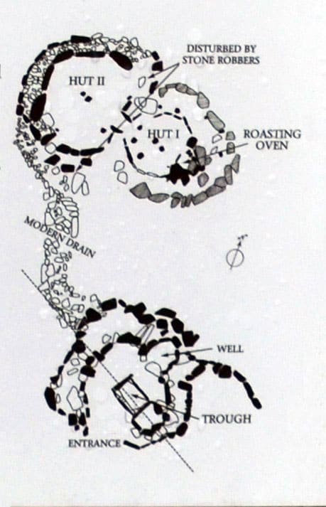 Fulacht FiadhFulacht fia · 785 yd
 Enclosure in SycamoreEnclosure · 1256 yd
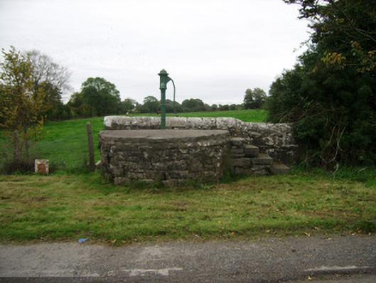 water pumpwater pump · 1323 yd
 Castle Pook (in Ruins)Castle, tower house · 1.0 mi
 CastlepookCastle · 1.0 mi
 Smith's WellSpring · 1.4 mi
 Sweet ChestnutSweet Chestnut · 1.5 mi
 Doneraile HouseHeritage attraction · 1.7 mi
 Anne's Grove GardensHeritage attraction · 5.2 mi
 Coolfree MountainMountain / peak · 5.3 mi