What is recorded here
Mullawornia holds a broken D-shaped ringfort where farm buildings consumed the western curve and erased the entrance. The remaining earth rises half to a metre and a half above a narrow ditch, marking a place old enough to be called a fairy fort by people who stopped asking when it was built.
At the base of a S-facing slope in pasture. A raised D-shaped area (max. dim. c. 60m), with a straight SW side, defined by a scarp (H 0.5-1.5m) with an external fosse (Wth 1.8m; D 0.2m), which is identifiable from N-NE-E. The monument has been destroyed from S-W-WNW due to the construction of modern, although disused, farm buildings. The original entrance is not recognisable. An apparently modern bank with an accompanying fosse extends from the inner face of the bank at NE to the centre of the interior.
Compiled by: Patrick F. O'Donovan
Date of upload: 26 August 2011
This remains an important historical record, but the official description says the monument is no longer visible or has been destroyed. The monument record does not grant public access. Check the route and ask the landowner before entering private land.
- What survives
- No visible remains or recorded as destroyed
Places near here
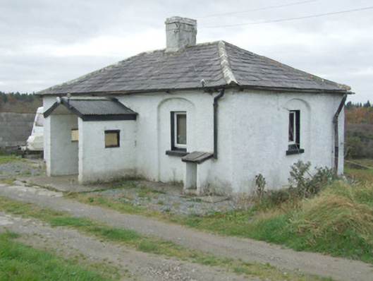 Mullawornia Locklock keeper's house · 235 yd
 Enclosure in MullaworniaEnclosure · 671 yd
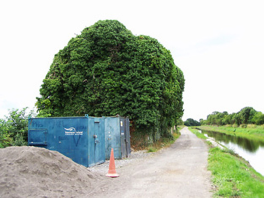 store/warehousestore/warehouse · 976 yd
 Tober PatrickHoly well · 1060 yd
 Bawn in TirlickeenBawn · 1641 yd
 CastleCastle, motte · 1.0 mi
 Corlea Bog Walk Canal BranchWalking route · 2.8 mi
 Corlea Trackway Interpretative CentreHeritage attraction · 3.0 mi
 Corlea Bog Walk Blue LoopWalking route · 3.3 mi
 Leveret IslandIslet · 4.3 mi
 InchbofinIslet · 5.3 mi
 Elfeet BayBay · 6.7 mi