What is recorded here
Fairy fort in Lissanisky, County Longford: a 49m oval scarped bank with infilled fosse on a gentle NE-facing pasture slope, its entrance lost though a low outer bank showed at south in 1976. People may have lived there before fields took the doorway back; the earth kept the shape while memory let go.
On a gentle NE-facing slope in reclaimed pasture. A raised roughly oval area (c. 49m NE-SW; c. 37m NW-SE) defined by a scarp (H 1.2-2m) with an external fosse (Wth 1.2-3.5m; D 0.7m), which has been largely infilled from WNW-N-ENE and from E-SE-SSE. A report in 1976 (SMR file) recorded a low outer bank at S. The original entrance is not recognisable.
Compiled by: Patrick F. O'Donovan
Date of upload: 26 August 2011
The monument record does not grant public access. Check the route and ask the landowner before entering private land.
- What survives
- Recorded monument
Places near here
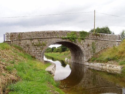 Archie's Bridgebridge · 583 yd
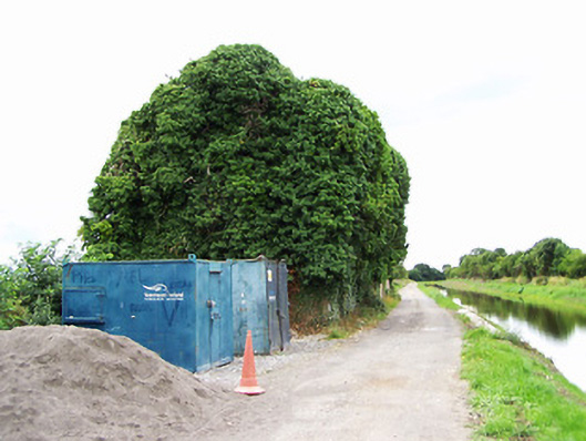 store/warehousestore/warehouse · 642 yd
 Enclosure in MullaworniaEnclosure · 937 yd
 Tober PatrickHoly well · 1030 yd
 Bawn in TirlickeenBawn · 1134 yd
 CastleCastle, motte · 1649 yd
 European BeechEuropean Beech · 2.2 mi
 Corlea Bog Walk Canal BranchWalking route · 3.1 mi
 Corlea Trackway Interpretative CentreHeritage attraction · 3.3 mi
 Noughaval CemeteryArchaeological place · 3.6 mi
 Corlea Bog Walk Blue LoopWalking route · 3.6 mi
 Leveret IslandIslet · 4.8 mi