What is recorded here
No. The supplied facts identify the site in County Galway, not Lisduff in Longford. They also say it was levelled, not that a fairy fort stands there.
On a hummock in grassland. Marked on the OS 6-inch maps as a circular enclosure (diam. c. 33m). On inspection in April 1984 no visible surface trace was visible. According to local information, it was known as a 'fort' and was levelled c. 1981 during land-improvement works. However, its outline it clearly visible on OSi aerial photographs (Google maps).
Compiled by: Galway Archaeological Survey, UCG
Date of upload: 15 April 2019
The monument record does not grant public access. Check the route and ask the landowner before entering private land.
- What survives
- Recorded monument
Places near here
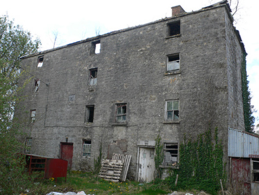 Lisduff Millmill (water) · 272 yd
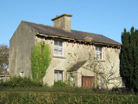 Lisduff Househouse · 485 yd
 IndicatedEnclosure · 1382 yd
 Bile (Site of)Ritual site, holy tree/bush · 1715 yd
 Knockaunnageeragh Castle in ruinsCastle, unclassified · 1.9 mi
 CastleCastle, unclassified · 2.1 mi
 Quarryhill WoodWood · 2.5 mi
 Bog WoodForest · 2.9 mi
 Church HillMountain / peak · 4.7 mi
 The bloody HollowHeritage attraction · 8.7 mi
 Battle of AughrimMajor battlefield · 8.8 mi
 Redmond HillMountain / peak · 9.1 mi