
What is recorded here
Bile (Site of) marks a venerated tree that stood beside a children’s burial ground in County Galway. Water pooled in its trunk, explaining the later holy well name, but the tree died in the early 1900s and left no visible trace. The well may have moved to an ash tree to the north, carrying the old devotion into a new vessel.
Within an ecclesiastical enclosure (GA117-064002-) and to the E of children’s burial ground (GA117-064003-). Named ‘Holy Well (Site of)’ on the 1917 edition of the OS 6-inch map and ‘Bile (Site of)’ on the 1947 revision. The latter term refers to a large ancient tree that was held in veneration (Joyce 1923, 96). No visible surface trace survives. According to local information, the tree died in the early 1900s. Water that collected in a small pool in the trunk of the tree probably resulted in it being named as a holy well on the 1917 map. When the tree died the well transferred to an ash tree to the N - see GA117-064005-.
Compiled by: Galway Archaeological Survey, UCG
Date of upload: 13 October 2017
Linked to Saint Bile (also known as Bilib or Bille), an early Irish saint associated with monastic foundations in the west of Ireland. The site may have been a holy well or shrine connected to local healing traditions, though specific cures or folklore are not well documented.
The monument record does not grant public access. Check the route and ask the landowner before entering private land.
- What survives
- Recorded monument
Places near here
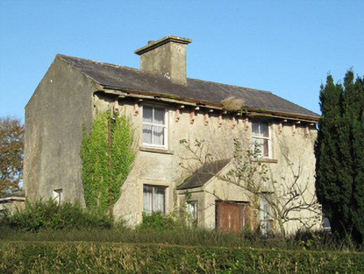 Lisduff Househouse · 1759 yd
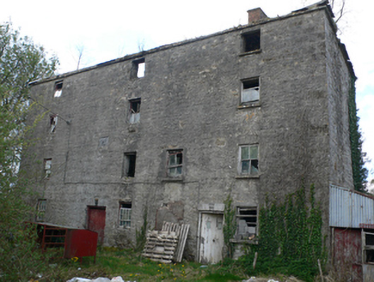 Lisduff Millmill (water) · 1.1 mi
 ‘Tobernaglora’Holy well · 1.2 mi
 IndicatedEnclosure · 1.3 mi
 Quarryhill WoodWood · 1.6 mi
 Site of CastleCastle, unclassified · 1.7 mi
 Knockaunnageeragh Castle in ruinsCastle, unclassified · 1.7 mi
 Bog WoodForest · 1.9 mi
 Church HillMountain / peak · 4.1 mi
 Redmond HillMountain / peak · 9.7 mi
 The bloody HollowHeritage attraction · 9.7 mi
 Battle of AughrimMajor battlefield · 9.7 mi
Other information
Photo: Credit not shown in the picture search · Rights wording not checked; contact us if this picture should be removed