What is recorded here
On the summit of a hillock in grassland. Marked on the 1838 edition of the OS 6-inch map as a subtriangular enclosed area of bushes. On the OS 1:2500 plan (surveyed 1912-16) it is depicted as a circular hachured enclosure (diam. c. 38m) planted with deciduous trees; a line of trees also encircles it. On the 1945 revision the trees have been removed. Apart from a dark band of vegetation which indicated its outline, no visible surface trace survived on inspection in April 1984. Possibly a rath or a tree-ring enclosure.
On the summit of a hillock in grassland. Marked on the 1838 edition of the OS 6-inch map as a subtriangular enclosed area of bushes. On the OS 1:2500 plan (surveyed 1912-16) it is depicted as a circular hachured enclosure (diam. c. 38m) planted with deciduous trees; a line of trees also encircles it. On the 1945 revision the trees have been removed. Apart from a dark band of vegetation which indicated its…
From the National Monuments Service (Archaeological Survey of Ireland) record GA107-041
The monument record does not grant public access. Check the route and ask the landowner before entering private land.
- What survives
- Recorded monument
Places near here
Photo credits
- National Inventory of Architectural Heritage
- Mike Searle, Wikimedia Commons · CC BY-SA 2.0
- Michael Deligan, Wikimedia Commons · CC BY-SA 4.0
- Willow, Wikimedia Commons · CC BY 2.5
- Steve & Jemma Copley on Flickr, Wikimedia Commons · CC BY-SA 2.0
- Jan Wyk, Wikimedia Commons · Public domain
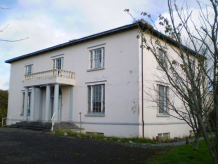 HearnesbrookCountry house · 1085 yd
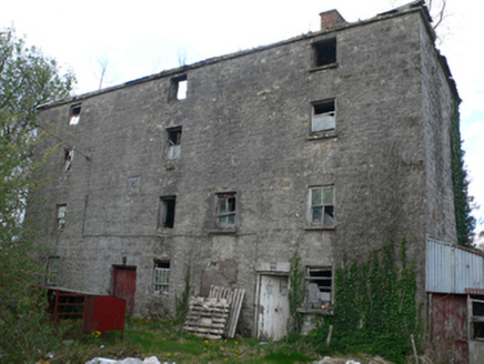 Lisduff MillMill (water) · 1229 yd
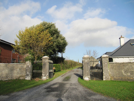 Rathmore HouseGates/railings/walls · 1279 yd
 HearnesbrookGates/railings/walls · 1533 yd‘St. Imor’s Holy Well’Holy well · 1716 ydSite of CrossCross · 1.0 mi
 Pallas CastleCastle · 3.3 mi
 Pallas CastleCastle, tower house · 3.3 miChurch HillMountain / peak · 4.2 mi
 European ash7.0 mi
 Silver Fir7.4 mi
.jpg/250px-Battle_of_Aughrim_by_Jan_Wyk_(cropped).jpg "Photo: Jan Wyk, Wikimedia Commons · Public domain") Battle of AughrimMajor battlefield · 8.8 mi
Battle of AughrimMajor battlefield · 8.8 miMore archaeology and monuments in County Galway · All of County Galway
What do you know about this place?