
What is recorded here
In pastureland on the N side of an E-W running roadway, a medieval church (GA107-109----) and graveyard (GA107-109001-) lie across the road to the SE. According to the OS Letters (O’Flanagan 1927, Vol. 2, 76), in 1838, this well was ‘still considered somewhat sacred, but the natives of Sil Amnchadha, who are becoming less credulous every year, never perform turrises at it, nor even take off their hats when passing by it, which argues a great falling off from the piety of their ancestors’. On inspection in April 1984, a circular depression (diam. 1m) marked the site of the well, which had dried up. A shallow drain lead from it at N. The depression was filled in for the most part with rocks. No votive offerings were visible. Most of the field surrounding the well has subsequently been redeveloped as a carpark servicing the graveyard. A modern Marian Grotto within it marks the site of the well (https://heritage.galwaycommunityheritage.org/content/places/killimor-heritage-group/places-killimor-heritage-group/killimor-heritage-trail/15-the-holy-well last accessed 11 April 2023)
Compiled by: Galway Archaeological Survey, UCG
Date of Upload: 12 April 2023
St. Imor’s Holy Well is associated with a local saint, Imor, whose medieval church and graveyard are located nearby. The well was historically visited for its supposed curative properties, particularly for eye ailments, and may have been linked to seasonal or baptismal rituals.
The monument record does not grant public access. Check the route and ask the landowner before entering private land.
- What survives
- Recorded monument
Places near here
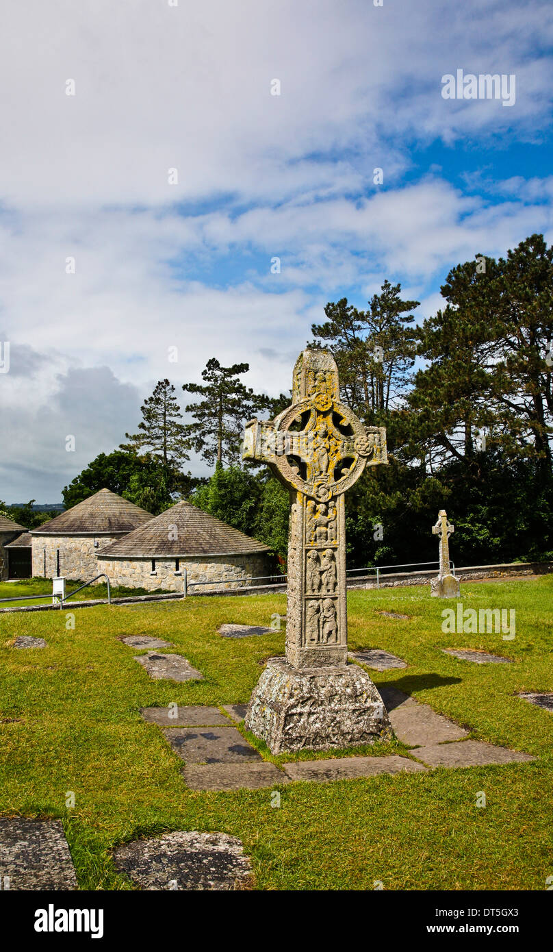 Site of CrossCross · 47 yd
 Church (in ruins)Church · 55 yd
 Hearnesbrooke Bridgebridge · 97 yd
 IndicatedEnclosure · 1.0 mi
 Quarryhill WoodWood · 3.6 mi
 Knockaunnageeragh Castle in ruinsCastle, unclassified · 3.6 mi
 Church HillMountain / peak · 3.7 mi
 Bog WoodForest · 3.7 mi
 CastleCastle, unclassified · 3.7 mi
 Redmond HillMountain / peak · 7.6 mi
 The bloody HollowHeritage attraction · 8.7 mi
 Battle of AughrimMajor battlefield · 8.8 mi
Other information
Photo: Credit not shown in the picture search · Rights wording not checked; contact us if this picture should be removed