
What is recorded here
Three-arch bridge, built c.1760, carrying minor road over Kilcrow River. Central arch blocked, and V-profile poured concrete buttress added to centre of east elevation c.1940. Rubble stone walls, rubble stone parapet walls with tooled limestone curved coping stones. Slightly pointed arches with cut limestone voussoirs, rubble limestone soffits. Bridge now bypassed, replacement single-span reinforced concrete bridge to north-east, having steel railings and snecked stone-clad piers to parapet.
A pleasing feature in the landscape, the long low elevation of this traditionally-built bridge, with the mass rhythmically punctuated by arches, forms a notable contrast to the single-span reinforced concrete bridge that replaced it following the realignment of the road. The rubble stone walls are a pleasing textural contrast to the cut limestone voussoirs. It forms an integral part of a demesne landscape of conscious design, affording views of Hearnesbrook House, framed by planting.
This does not grant access. Most recorded buildings are privately owned; view them only from public ground unless the owner allows entry.
Places near here
 Church (in ruins)Church · 75 yd
 ‘St. Imor’s Holy Well’Holy well · 97 yd
 Hearnesbrookgates/railings/walls · 111 yd
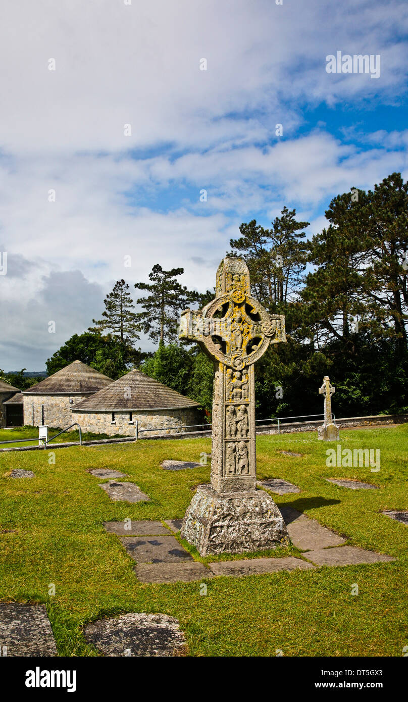 Site of CrossCross · 144 yd
 Quarryhill WoodWood · 3.5 mi
 Knockaunnageeragh Castle in ruinsCastle, unclassified · 3.5 mi
 Bog WoodForest · 3.7 mi
 CastleCastle, unclassified · 3.7 mi
 Church HillMountain / peak · 3.7 mi
 Redmond HillMountain / peak · 7.6 mi
 The bloody HollowHeritage attraction · 8.7 mi
 Battle of AughrimMajor battlefield · 8.8 mi
Other information
Photo: National Inventory of Architectural Heritage · Website use allowed for educational or private purposes with source credit