What is recorded here
Knockburden held a seven-foot earthen rampart with a southwestern causeway until ploughs and pragmatism erased it. The soil still betrays the vanished circle through differential grass colour, proving that memory lives in texture rather than stone. Humans may have chopped gaps for carts or cattle, treating the ancient boundary as a convenient obstacle rather than a sacred limit.
In pasture. Depicted as hachured circular enclosure (diam c. 35m) on 1842, 1903 and 1940 OS 6-inch maps. Levelled; differential grass colour defines circular area (diam. 31m). Hartnett (1939, 259) recorded rampart '7 feet in height', causewayed entrance to SW and two other 'gaps made to facilitate agricultural operations'.
The above description is derived from the published 'Archaeological Inventory of County Cork. Volume 3: Mid Cork' (Dublin: Stationery Office, 1997). In certain instances the entries have been revised and updated in the light of recent research.
Date of upload/revision: 14 January 2009
The monument record does not grant public access. Check the route and ask the landowner before entering private land.
- What survives
- Recorded monument
Places near here
 Site of Burial GroundBurial ground · 1285 yd
 Grange HillMountain / peak · 1294 yd
 KilnKiln, lime · 1.2 mi
 Enclosure in Grange (east Muskerry By.)Enclosure · 1.2 mi
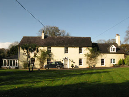 Bride Park Househouse · 1.4 mi
 Charlie Hurley MemorialMemorial · 1.6 mi
 Ballyburden Castle (Site of)Castle, unclassified · 1.6 mi
 Graveyard in Carrigane (muskerry East By.)Graveyard · 1.8 mi
 Ballincollig CastleCastle · 2.4 mi
 Cave in Ballincollig (muskerry East By., Carrigrohane Par.)Cave · 2.4 mi
 Corbally Montessori & Early Years' Pre-schoolVisitor information · 2.5 mi
 waterfallVisitor information · 3.4 mi