What is recorded here
Mortons and company built Kilmacnoran Fort around 300 BC. They cut a narrow trench, piled the earth into a low circular bank, and left a gap for entry. The completed ring measured tens of metres across, large enough for people, tools and perhaps animals. It stood out on the landscape, easy to see and hard to ignore. Whether the site is a lost household, a boundary marker or a ceremonial feature cannot be known from the remains alone.
Marked 'Fort' on OS 1836 and 1876 eds. Raised circular area (int. diam. 32.4m) enclosed by a low, narrow earthen bank and a narrow, shallow trench. Original entrance not recognisable. Internal area has been planted with trees. The site may be a landscape feature.
The above description is derived from the published 'Archaeological Inventory of County Cavan' (Dublin: Stationery Office, 1995). In certain instances the entries have been revised and updated in the light of recent research.
Date of upload/revision: 22 December 2008
The monument record does not grant public access. Check the route and ask the landowner before entering private land.
- What survives
- Recorded monument
Places near here
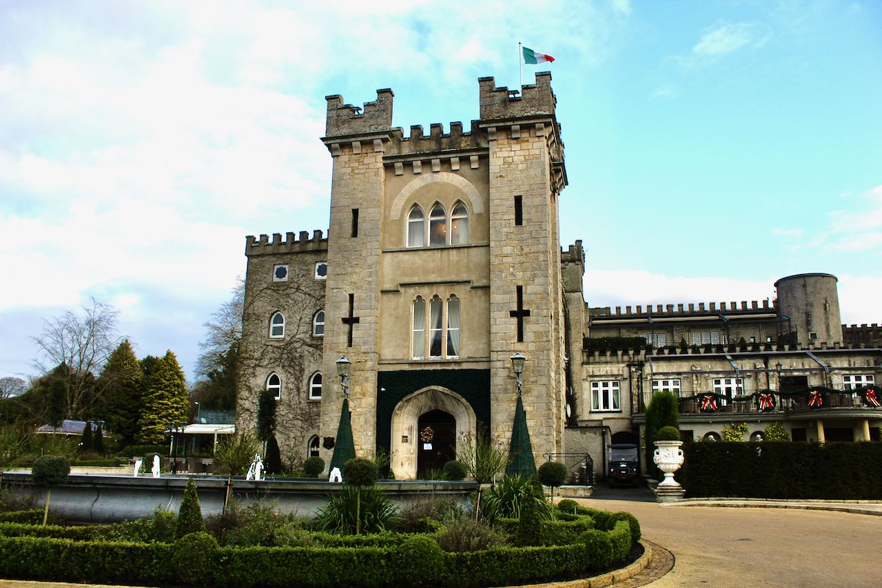 CastleCastle, unclassified · 731 yd
 Church in KilmacnoranChurch · 881 yd
 CorgarveMountain / peak · 1157 yd
 IndicatedFairy fort / earthen ringfort · 1677 yd
 ArdamaghMountain / peak · 1.0 mi
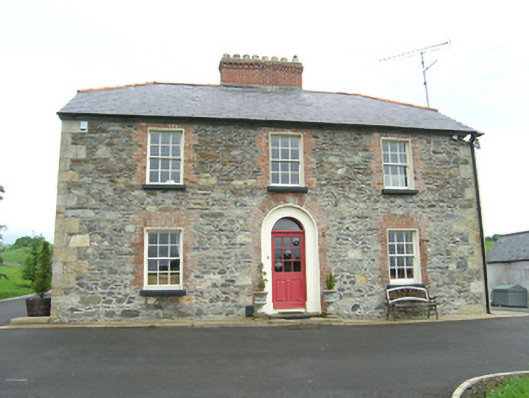 Carnogue Housesteward's house · 1.1 mi
 Drumcarn Ho.Castle, unclassified · 1.3 mi
 Garden IsleIslet · 1.5 mi
 Agroforestry plotForest · 1.7 mi
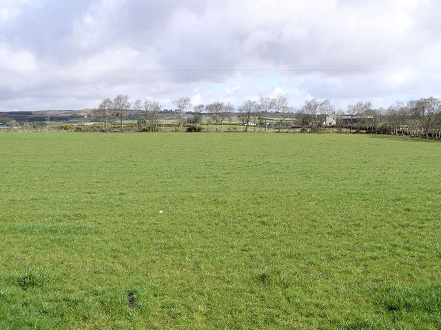 Enclosure in CarrickmoreEnclosure · 1.9 mi
 Castleterra ForestForest · 2.1 mi
 Giant's GraveArchaeological place · 3.0 mi