What is recorded here
Slightly raised oval area (int. dims. 53m NNW-SSE; 41.4m WSW-ENE) enclosed by a low, narrow, steep-sided earthen bank and a deep, narrow fosse. The site may be a tree-ring.
From the National Monuments Service (Archaeological Survey of Ireland) record CV016-013
The monument record does not grant public access. Check the route and ask the landowner before entering private land.
- What survives
- Recorded monument
Places near here
Photo credits
- National Inventory of Architectural Heritage
- Malene Thyssen, Wikimedia Commons · CC BY-SA 3.0
- Sitomon, Wikimedia Commons · CC BY-SA 2.0
- Deadstar, Wikimedia Commons · CC BY-SA 4.0
- Peter Gerken, Geograph · CC BY-SA 2.0
- Kenneth Allen, Geograph · CC BY-SA 2.0
CastleCastle, unclassified · 827 yd Ballyhaise Agricultural CollegeFarmyard complex · 1112 ydBallyhaise Agricultural CollegeCountry house · 1121 ydBallyhaise HouseCastle, unclassified · 1132 ydGarden IsleIslet · 1307 ydStanding StoneArchaeological place · 1.0 miEuropean Beech1.7 miEuropean Yew2.7 miFin Mc Cools FingersStone row · 3.1 miRambling at Farnham EstateVisitor information · 5.1 miBelturbet Heritage Railway Station MuseumMuseum · 5.6 miWelcome to Belturbet StationVisitor information · 5.6 mi
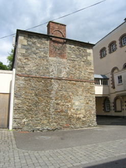 Ballyhaise Agricultural CollegeFarmyard complex · 1112 yd
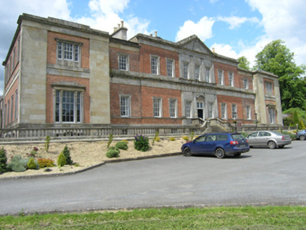 Ballyhaise Agricultural CollegeCountry house · 1121 ydBallyhaise HouseCastle, unclassified · 1132 ydGarden IsleIslet · 1307 ydStanding StoneArchaeological place · 1.0 mi
 European Beech1.7 mi
 European Yew2.7 mi
 Fin Mc Cools FingersStone row · 3.1 mi
 Rambling at Farnham EstateVisitor information · 5.1 mi
 Belturbet Heritage Railway Station MuseumMuseum · 5.6 mi
 Welcome to Belturbet StationVisitor information · 5.6 mi
More archaeology and monuments in County Cavan · All of County Cavan
What do you know about this place?