What is recorded here
In pasture on a SSE-facing slope. Circular area (dims. 22m N-S; 22m E-W) defined by earthen scarp (Wth 3.9m; H 1.35m) SSE-W-N and bank (Wth 6.75m; int. H 0.65m; ext. H 1.4m) N-E-SSE. Breach (7.5m NE-SW; 6m NW-SE) at ESE and breach (Wth 3.5m) at SW. External fosse (Wth 6.65m; D 0.4m) is truncated at outer edge WSW-W-WNW. Remains of outer bank (Wth 4.25m; int. H 0.6m; ext. H 0.2m) E-S-WSW also truncated by field boundary. Breach (Wth 3m) in outer bank at E. Interior slopes gently down to S and is covered in briars in places.
Compiled by: Jean Farrelly
Date of upload: 26 August 2011
The monument record does not grant public access. Check the route and ask the landowner before entering private land.
- What survives
- Recorded monument
Places near here
 (Site of) Killerk CastleCastle, unclassified · 524 yd
 Enclosure in Jossestown,killerk NorthEnclosure · 866 yd
 Rathdrum Castle (in ruins)Castle, tower house · 996 yd
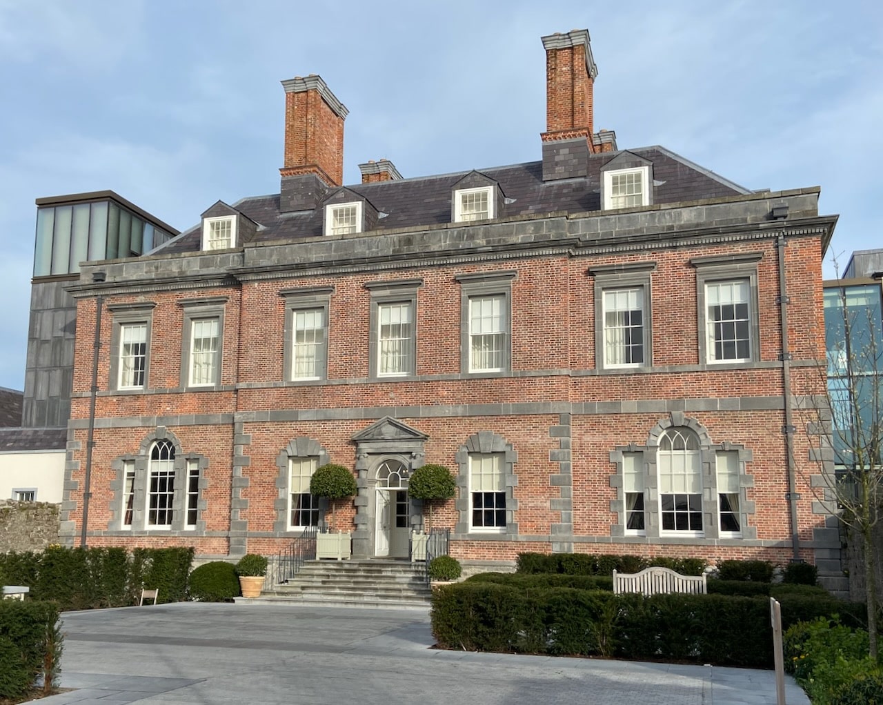 Enclosure in RedcityEnclosure · 1178 yd
 Newtown Househouse · 1351 yd
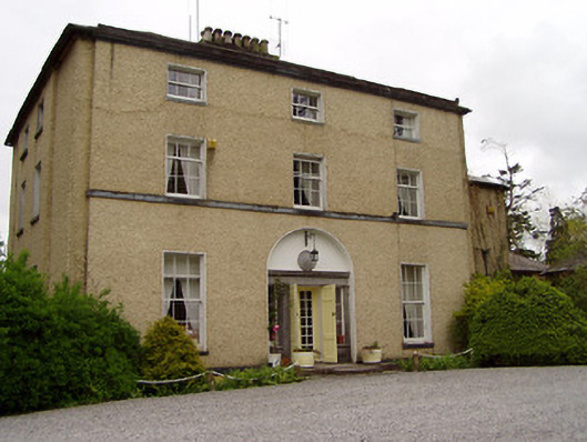 Clonacody Housecountry house · 1722 yd
 Pedunculate OakPedunculate Oak · 1.1 mi
 Grove WoodForest · 1.4 mi
 East GateMemorial · 1.8 mi
 Kilknockan HillMountain / peak · 2.9 mi
 CarrigdotiaMountain / peak · 5.0 mi
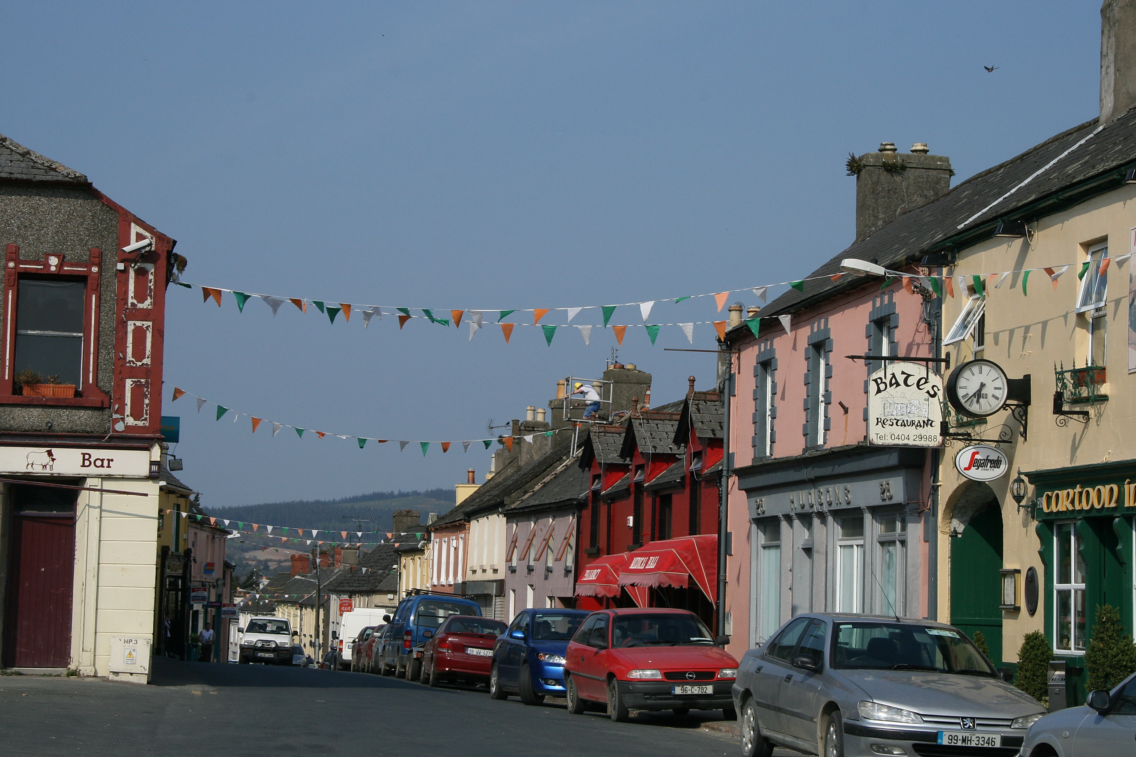 (Site of) TemplemurryChurch · 1255 yd