What is recorded here
Situated on a gentle W-facing slope. Circular grass-covered area (diam. 30.2m N-S; 29.2m E-W) defined by an earth and stone bank (Wth 2-4m; int. H 0.8-1.4m; ext. H 0.8-1.6m), with internal (E-S) and external (WNW-E-S) stone-facing. There are slight traces of a fosse (Wth c. 5m; D 0.2m) S-WNW. The original entrance is not identified, although a modern entrance (Wth 4m) at W is blocked with drystone walling. The bank is planted with coniferous trees NW-E.
The above description is derived from the published 'Archaeological Inventory of County Waterford' (Dublin: Stationery Office, 1999). In certain instances the entries have been revised and updated in the light of recent research.
Compiled by: Michael Moore
Date of upload/revision: 18 November 2010
The monument record does not grant public access. Check the route and ask the landowner before entering private land.
- What survives
- Recorded monument
Places near here
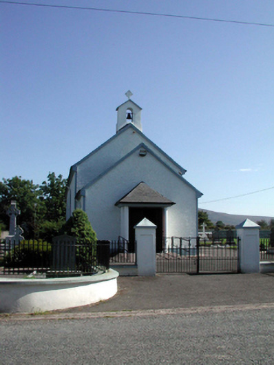 Saint Patrick's Catholic Churchchurch/chapel · 540 yd
 Kilbrien National SchoolOfficially recorded historic building · 561 yd
 Site of Grave YardBurial ground · 869 yd
 Field boundary in ScartnadrinymountainField boundary · 1151 yd
 Standing StoneMemorial · 1.2 mi
 Coumaraglin MountainMountain / peak · 2.6 mi
 SeefinMountain / peak · 2.6 mi
 Mahon ValleyCliff · 3.9 mi
 Bawn in BarnankileBawn · 4.5 mi
 Castle (in ruins)Castle, tower house · 4.7 mi
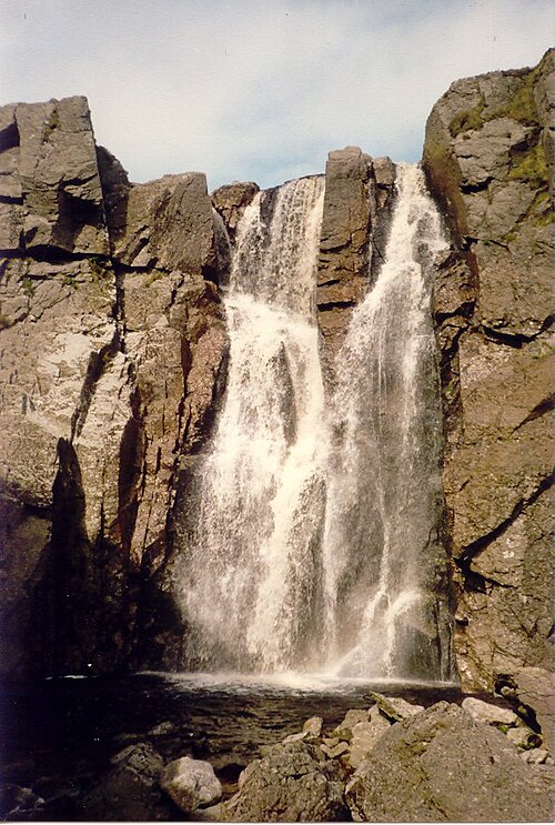 Mahon FallsWaterfall · 5.2 mi
 Magic Road (start)Heritage attraction · 5.3 mi