What is recorded here
Fairy fort / earthen ringfort in Jossestown is a fairy fort or earthen ringfort in Jossestown, County Tipperary, Ireland. It stands in woodland surrounded by pasture and encloses a circular area about 25 metres across. An earthen bank 7.9 metres wide and an external ditch 6.4 metres wide and 0.9 metres deep define the site. Breaches cut the bank at the south and northeast, while dense growth restricts access in the eastern and southern sectors.
In woodland, surrounded by pasture. Circular area (map diam. 25m) defined by earthen bank (Wth 7.9m; int. H 0.75m; ext. H 1.55m) and external fosse (basal Wth 2m; overall Wth 6.4m; D 0.9m). Tapered breach (int. Wth 3m; ext. Wth 0.9m) cut into bank at S and breach (Wth 1.4m) at NE. Restricted access within due to areas of impenetrable overgrowth in E and S sectors. Monument enclosed by trackway NE-E-SSE and by field boundary SSE-W-N-NE. Field boundary to E forms townland boundary between Jossestown and Clonacody. Castle (TS070-099----) and Clonacody House c. 150m to E.
Compiled by: Jean Farrelly
Date of upload: 26 August 2011
The monument record does not grant public access. Check the route and ask the landowner before entering private land.
- What survives
- Recorded monument
Places near here
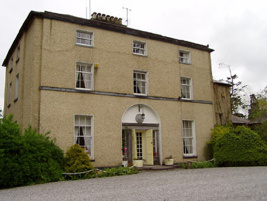 Clonacody Housecountry house · 220 yd
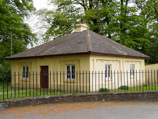 Lakefieldgate lodge · 644 yd
 Enclosure in Jossestown,killerk NorthEnclosure · 751 yd
 Pedunculate OakPedunculate Oak · 816 yd
 Enclosure in BaptistgrangeEnclosure · 1001 yd
 (Site of) Killerk CastleCastle, unclassified · 1176 yd
 CastleCastle, motte · 1.0 mi
 Grove WoodForest · 1.3 mi
 East GateMemorial · 2.2 mi
 Kilknockan HillMountain / peak · 3.3 mi
 CarrigdotiaMountain / peak · 4.4 mi
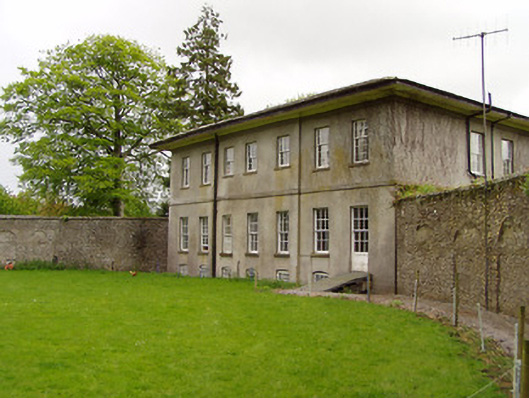 Lakefield Housewalled garden · 1193 yd