What is recorded here
Half-hidden under grass and rush on a low drumlin above Lough Edin, the fairy fort in Hartley keeps its southern bank intact while a field cut has swallowed the north-west edge. People called it a fairy fort because the shape appeared sudden and complete, yet the measured earth and outside ditch point to a human ringfort where ordinary life happened before memory faded. The fairies may have inherited the hole rather than dug it, taking the abandoned place and making it theirs.
On the S-facing slope of a low drumlin and c. 400m NE of a SW-NE extension of Lough Edin. This is a grass and rush-covered D-shaped area (int. dims 30m N-S; 25m E-W) defined by an overgrown earthen bank which is best preserved at S (Wth 5.3m; int. H 0.45m; ext. H 1.25m) and an external fosse (at S: Wth 2.9m; D 0.25m). The original entrance is not identified, but the perimeter is truncated at NW by a NE-SW field bank.
The above description is derived from 'The Archaeological Inventory of County Leitrim' compiled by Michael J. Moore (Dublin: Stationery Office, 2003). In certain instances the entries have been revised and updated in the light of recent research.
Date of upload: 23 September 2008
The monument record does not grant public access. Check the route and ask the landowner before entering private land.
- What survives
- Recorded monument
Places near here
 fortsFairy fort / earthen ringfort · 904 yd
 Enclosure in CaldraghEnclosure · 1079 yd
 PortCastle, unclassified · 1705 yd
 AbbeyChurch · 1760 yd
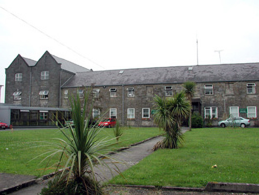 Saint Patrick's Hospitalworkhouse · 1.2 mi
 CastlecarraCastle, unclassified · 1.3 mi
 Moon RiverHeritage attraction · 1.8 mi
 Shannon-Erne WaterwayVisitor information · 1.8 mi
 Battle of Áth an Chipbattle · 2.0 mi
 Hughestown WoodForest · 2.7 mi
 InishnagonIsland · 3.0 mi
 Leabaidh DermotCave · 3.4 mi