What is recorded here
Gortnakistin holds a broken oval of earth twenty-two metres long, its bank reduced to a shallow scarp across most of the circle. Cattle graze beside the remains, and the western half has been raised to compensate for the slope, blurring the line between human making and ground itself. The fort is small enough to walk in minutes yet old enough to have watched fields change from pasture to pasture. It does not demand belief; it waits for attention.
On a slight rise, on gentle E-facing slope, in improved pasture. Surveyed by the ASI in 2008 and described as a raised roughly oval-shaped area (dims. 22m NNE-SSW; 14m ESE-WNW) defined by the remains of a levelled bank which has been reduced to a scarp. The bank (int. H 0.1m; ext. H 0.4m; Wth 1.5m) is visible at NW and is reduced to a scarp (Wth 1.95m; H 0.8m) from NNW-N-E-S-SSW, and is completely levelled from SSW-W-NW. The interior has been raised across the W half to compensate for hillslope and has an uneven surface. Monument is visible as a tree-covered earthwork on Digital Globe orthophotos taken 2011-13 and on Google Earth orthoimages taken 25/05/2017.
See attached sketch plan and cross-sections surveyed and drawn by the ASI.
See attached Google Earth orthoimages
Compiled by: Alison McQueen and Vera Rahilly
Date of upload: 17 July 2020
The monument record does not grant public access. Check the route and ask the landowner before entering private land.
- What survives
- Recorded monument
Places near here
 BarrowBarrow, ring-barrow · 750 yd
 Derraun Bridgebridge · 867 yd
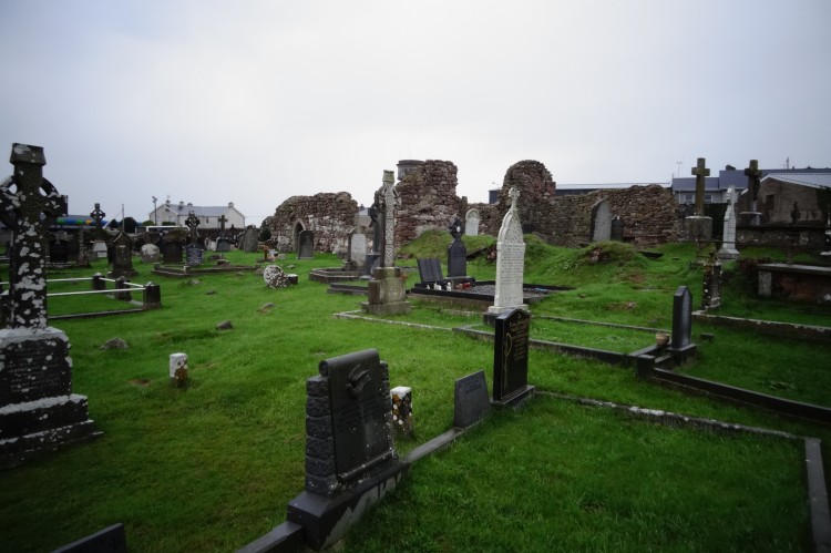 Grave YardBurial ground · 1262 yd
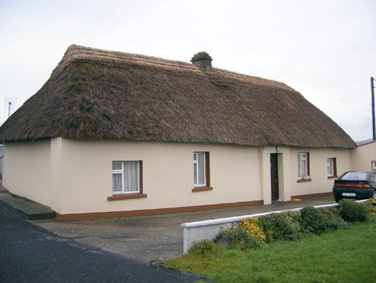 Historic buildingOfficially recorded historic building · 1.0 mi
 Coonagh CastleCastle · 1.4 mi
 (Site of) Castle ClugginCastle, unclassified · 1.5 mi
 Oola HillMountain / peak · 2.5 mi
 ToberagaddySpring · 2.6 mi
 KnockseefinMountain / peak · 4.0 mi
 St. Patrick's WellSpring · 6.1 mi
 Flat cemetery in Knockainy WestFlat cemetery · 10 mi
 Enclosure in ReaskEnclosure · 1437 yd