What is recorded here
Fairy fort / earthen ringfort in Gortloney stands on a NW-SE ridge in County Meath, Ireland. Its earthen bank, wide fosse and outer field bank still mark a circular home or stronghold from the distant past. People may have lived, worked or hidden there before the land changed around them. The shape remains clear enough to imagine, even when the names and events have faded.
Situated on a NW-SE ridge in an undulating landscape. This is a raised circular overgrown area (diam. 26.5m WNW-ESE) defined by an overgrown earthen bank (at WNW: Wth of base 7.5m; int. H 1.4m; ext. H 3.8m) W-N that is largely reduced to an external scarp (at ESE: H 3.4m). It is surrounded by a fosse (Wth of top 6-7m; Wth of base 1-2m; ext. D 0.2m at E to 1.3m at W), with an outer field bank (at WSW: Wth of base 1.5m; ext. H 0.3m) SE-W-NNW. The original entrance (Wth of base 2.5m) and causeway (Wth of top 2.1m; H 0.4m) are at SE. Rath (ME015-066----) is c. 150m to the N.
The above description is derived from the published 'Archaeological Inventory of County Meath' (Dublin: Stationery Office, 1987). In certain instances the entries have been revised and updated in the light of recent research.
Compiled by: Michael Moore
Date of revision: 9 January 2019
The monument record does not grant public access. Check the route and ask the landowner before entering private land.
- What survives
- Recorded monument
Places near here
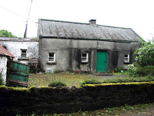 farm housefarm house · 440 yd
 Green CastleCastle, unclassified · 939 yd
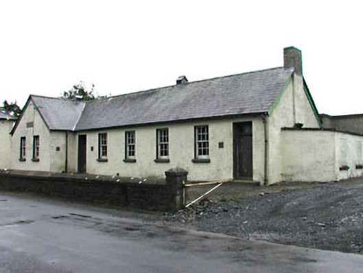 Gortloney National Schoolschool · 952 yd
 Seafin HillMountain / peak · 1150 yd
 SeefinFairy fort / earthen ringfort · 1153 yd
 IndicatedFairy fort / earthen ringfort · 1747 yd
 CastleCastle, tower house · 1.1 mi
 Slieve GullionMountain / peak · 1.5 mi
 European BeechEuropean Beech · 1.6 mi
 Zip WireHeritage attraction · 2.0 mi
 European YewEuropean Yew · 2.0 mi
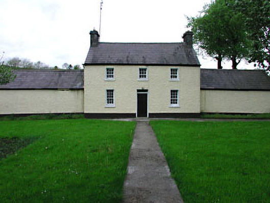 Rockwoodfarm house · 1287 yd