What is recorded here
Thirty-eight metres of grass and scarred earth rise above the Gortloney fields, marking a dwelling place where human hands shaped the land before memory faded. The broken bank and hidden ditch suggest a home for people who valued defensible ground, yet the fairy fort name preserves the older truth that unusual places belong to imagination as much as history.
Situated on a slight E-W rise in an undulating landscape. This is a raised oval area (dims 38m E-W; 27.5m N-S) that is grass and scrub-covered. It is defined by an overgrown earthen bank (Wth of base 3.1m; int. H 0.6m; ext. H 1.5m) WSW-WNW that is largely reduced to an overgrown scarp, and an outer fosse that is best preserved SW-WNW where it is bordered by an external field bank, and at E (Wth of top 2.7m; Wth of base 1.6m; ext. D 0.4m) where it crosses the ridge but the fosse is replaced by a modern drain ESE-WSW. The original entrance (Wth of base 2.1m) and causeway (Wth of top 1.8m) are at ESE. Rath (ME015-066----) is c. 170m to the E. Archaeological testing (16E0667) by D. Delaney in the area to the NW and outside a 30m buffer zone produced no related material (excavations.ie 2016:206).
The above description is derived from the published 'Archaeological Inventory of County Meath' (Dublin: Stationery Office, 1987). In certain instances the entries have been revised and updated in the light of recent research.
Compiled by: Michael Moore
Date of revision: 9 January 2019
Amended: 13 April 2021
The monument record does not grant public access. Check the route and ask the landowner before entering private land.
- What survives
- Recorded monument
Places near here
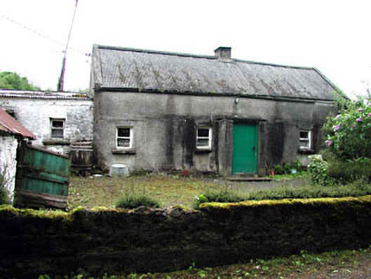 farm housefarm house · 289 yd
 Green CastleCastle, unclassified · 1001 yd
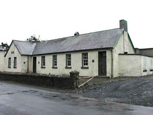 Gortloney National Schoolschool · 1029 yd
 Seafin HillMountain / peak · 1299 yd
 SeefinFairy fort / earthen ringfort · 1305 yd
 IndicatedFairy fort / earthen ringfort · 1599 yd
 Moat CastleCastle, unclassified · 1.0 mi
 European BeechEuropean Beech · 1.5 mi
 Slieve GullionMountain / peak · 1.6 mi
 Zip WireHeritage attraction · 1.9 mi
 European YewEuropean Yew · 1.9 mi
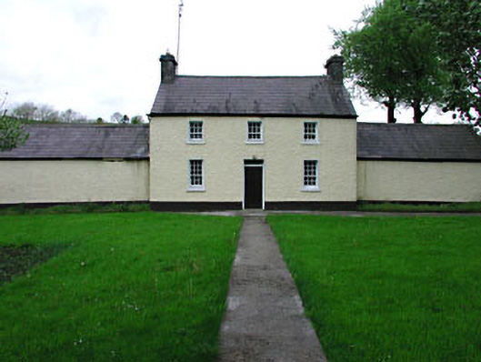 Rockwoodfarm house · 1033 yd