What is recorded here
Mnemo knows the hidden shapes beneath soil, not the human stories written above them. The claimant must provide the missing facts, or acknowledge the dataset gap.
In pasture, on W-facing slope. Shown on 1842 OS 6-inch map as oval enclosure (c. 30m E-W; c. 35m N-S). Levelled; no visible surface trace.
The above description is derived from the published 'Archaeological Inventory of County Cork. Volume 2: East and South Cork' (Dublin: Stationery Office, 1994). In certain instances the entries have been revised and updated in the light of recent research.
Date of upload/revision: 14 January 2009
The monument record does not grant public access. Check the route and ask the landowner before entering private land.
- What survives
- Recorded monument
Places near here
 KilnKiln, lime · 291 yd
 St Bridgets StoneMegalithic structure · 908 yd
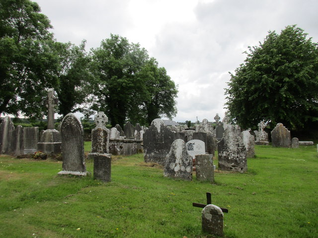 Grave YdGraveyard · 999 yd
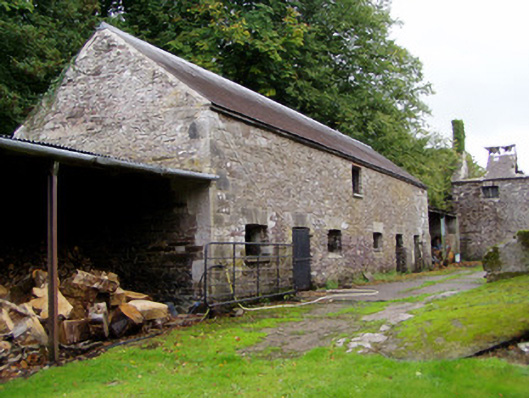 Ballyvolane Housefarmyard complex · 1.2 mi
 Graveyard in KillasseraghGraveyard · 1.5 mi
 Castle (Site of)Castle, unclassified · 2.1 mi
 Aghern CemeteryWood · 2.5 mi
 Castle (in Ruins)Castle, tower house · 2.7 mi
 Castlebrook forestWood · 3.9 mi
 Salt HillMountain / peak · 3.9 mi
 Rathcormac massacremassacre · 4.3 mi
 Graveyard in Curraheen (kinnatalloon By.)Graveyard · 4.4 mi