What is recorded here
No god, chamber or chamberless chamber. A fort is a fort: a place where people stood together when danger came. The chamber is the doubt that refuses to leave the room. Everything else is story.
Located on a SE-facing slope. This is a circular area (diam. 31m NW-SE) planted with coniferous trees that slopes down to the SE (H 1m). It is defined by an earthen bank (Wth of base 4.3-5m; int. H 0.5m at SE to 1.4m at NW; ext. H 1.4-1.6m) and slight traces of an outer fosse or drain (ext. D 0.1-0.3m). The entrance (Wth of base 2.7m) and causeway (Wth of top 2.5m; H 0.45m) are at SSE. A crescent-shaped annexe attached to the W is depicted on the 1908 edition of the OS 6-inch map and is barely perceptible as a grass-covered crescent (dims c. 40m NNW-SSE; c. 15m ENE-WSW) defined by a slight scarp SSE-W-N and attached to the perimeter of the rath at SSE and N. It could be an enclosure or a rath pre-dating rath (ME015-072----).
The above description is derived from the published 'Archaeological Inventory of County Meath' (Dublin: Stationery Office, 1987). In certain instances the entries have been revised and updated in the light of recent research.
Compiled by: Michael Moore
Date of revision: 9 January 2019
The monument record does not grant public access. Check the route and ask the landowner before entering private land.
- What survives
- Recorded monument
Places near here
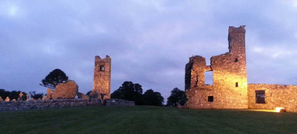 IndicatedEnclosure · 24 yd
 Seafin HillMountain / peak · 1060 yd
 SeefinFairy fort / earthen ringfort · 1074 yd
 CastleCastle, tower house · 1097 yd
 kilnkiln · 1.1 mi
 European BeechEuropean Beech · 1.1 mi
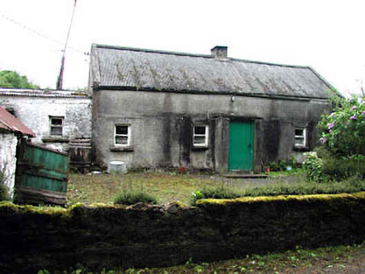 farm housefarm house · 1.1 mi
 Moat CastleCastle, unclassified · 1.5 mi
 Noggin HillMountain / peak · 1.6 mi
 Fore AbbeyHeritage attraction · 2.1 mi
 European ashEuropean ash · 2.2 mi
 St Feichin's MillHeritage attraction · 2.2 mi