What is recorded here
Fairy fort / earthen ringfort in Garryduff (Garrangibbon parish) is a fairy fort or earthen ringfort in Garryduff (Garrangibbon parish), County Tipperary, Ireland. It occupies a north-facing ridge below Curraghadobbin Hill, where a rounded bank and external bank form a circular area about 31 metres across. A gap cuts through both banks in the east quadrant, while a possible bivallate enclosure lies about 150 metres to the northeast.
On a N-facing ridge below the summit of Curraghadobbin Hill, in pasture. The hill slope falls gradually immediately N of the ringfort and then sharply. A field boundary runs NE-SW along the S edge of the monument. A possible bivallate enclosure (TS079-025----) is located c. 150m to the NE. A raised circular area (diam. 31m NW-SE; 30m E-W) defined by a rounded bank (Wth 7.2m; int. H 0.3-0.55m; ext. H 2.56m) with a high stone content; a fosse (Wth 1.8m; D 0.35m) and an external bank (Wth 4.8m; H above ext. 1.1m). There is a gap through both banks in the E quadrant.
Compiled by: Jean Farrelly
Date of upload: 26 August 2011
The monument record does not grant public access. Check the route and ask the landowner before entering private land.
- What survives
- Recorded monument
Places near here
 Hillfort in CurraghadobbinHillfort · 243 yd
 Curraghdobbin HillMountain / peak · 257 yd
 Partially indicatedConcentric enclosure · 373 yd
 CastleCastle, ringwork · 1.1 mi
 Wild CherryWild Cherry · 1.1 mi
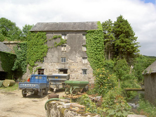 mill (water)mill (water) · 1.2 mi
 Church in GarrangibbonChurch · 1.3 mi
 Carrigadoon HillMountain / peak · 2.1 mi
 Kilcash WoodForest · 2.2 mi
 Thomas KielyMemorial · 2.4 mi
 Castle JohnCastle, tower house · 2.7 mi
 Carrigaloe RockNamed rock · 2.7 mi