What is recorded here
On natural spur surrounded by the Glenbower River to N and W and by main Clonmel to Callen road to E. Very heavily overgrown with brambles and interior planted with conifers. Defined by scarp (H 2.8m). Interior not accessible (diam. 38m N-S; 56m NE-SE from 25-inch OS map). E edge of monument was truncated by a…
Read the whole record
On natural spur surrounded by the Glenbower River to N and W and by main Clonmel to Callen road to E. Very heavily overgrown with brambles and interior planted with conifers. Defined by scarp (H 2.8m). Interior not accessible (diam. 38m N-S; 56m NE-SE from 25-inch OS map). E edge of monument was truncated by a realignment of the adjacent road. According to Power (1908, 197) this possible ringwork was called 'An Dun -"The Fort"; a natural mound by the roadside, crowned by vestiges of what appears to have been an earthwork of the Rath type'. The location of this earthwork by a routeway through a pass and the defensive nature of its topography would suggest that this is a medieval earthwork castle.
From the National Monuments Service (Archaeological Survey of Ireland) record TS078-021
Places near here
Photo credits
- National Inventory of Architectural Heritage
- MPF, Wikimedia Commons · CC BY 2.5
- A.-K. D., Wikimedia Commons · CC BY-SA 4.0
- kevin higgins, Geograph · CC BY-SA 2.0
- Humphrey Bolton, Geograph · CC BY-SA 2.0
- Colin Park, Geograph · CC BY-SA 2.0
- A.-K. D., Wikimedia Commons · CC0
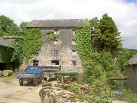 mill (water)1685 yd
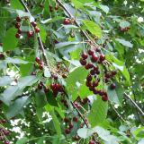 Wild Cherry1.1 mi
 Standing stone in BallinvirStanding stone · 1.2 mi
 Templemichael Grave YardGraveyard · 1.4 mi
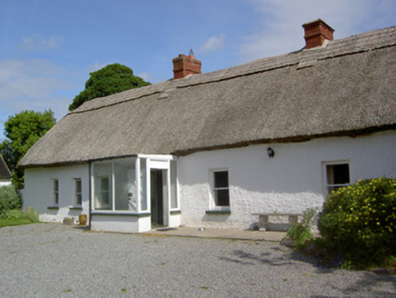 Ballynacloona CottageHouse · 1.7 mi
 Bawn in KilcashBawn · 2.3 mi
 Kilcash Castle (in ruins)Castle, tower house · 2.3 mi
 SheegounaMountain / peak · 3.3 mi
 Knockroe Passage TombVisitor information · 3.5 mi
 SlievenamonMountain / peak · 3.6 mi
 Killamery High CrossVisitor information · 4.2 mi
 Brawder's Family BlacksmithHeritage attraction · 4.9 mi
More castles and forts in County Tipperary · All of County Tipperary

What do you know about this place?Tap to add a comment or ask a question