
What is recorded here
On the summit of Curraghadobbin Hill. The hill has been planted with conifers, harvested and replanted. A hillfort with a central cairn (TS079-024005-) was identified on aerial photographs (Air Corps V.312/3077-6 and GSI June 1973 S.501/500). Though damaged by forestry activity the wall of the circular hillfort (diam. c. 90m) is still visible in the NW, N, E, SE and SW quadrants. It is composed of sandstone conglomerate boulders (Wth 3-3.6m; H 0.5-1m). There is a large upright boulder (H.1.5m) on the line to the wall in the SE quadrant. From the aerial photographs an outer enclosure (diam. c. 230m) could be identified, with the townland boundary to the E of the hillfort kinking out to form the E quadrant. This outer enclosure is not visible at ground level.
Compiled by: Jean Farrelly
Date of upload: 26 August 2011
A local fairy fort (ringfort/rath); wider significance not recorded.
The monument record does not grant public access. Check the route and ask the landowner before entering private land.
- What survives
- Recorded monument
Places near here
 Curraghdobbin HillMountain / peak · 26 yd
 Partially indicatedConcentric enclosure · 527 yd
 Enclosure in Garryduff (garrangibbon Par.)Enclosure · 839 yd
 Wild CherryWild Cherry · 1.0 mi
 CastleCastle, ringwork · 1.1 mi
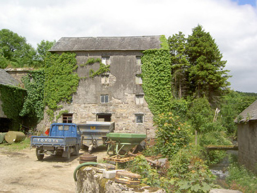 mill (water)mill (water) · 1.1 mi
 Church in GarrangibbonChurch · 1.4 mi
 Kilcash WoodForest · 2.1 mi
 Carrigadoon HillMountain / peak · 2.2 mi
 Thomas KielyMemorial · 2.3 mi
 Carrigaloe RockNamed rock · 2.6 mi
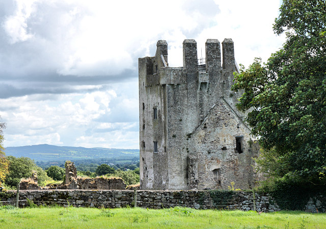 Bawn in KilcashBawn · 2.8 mi
Other information
Photo: Credit not shown in the picture search · Rights wording not checked; contact us if this picture should be removed