
What is recorded here
On flat terrain in gently undulataing pasture. A ringfort (TS079-002001-) is located c. 30m to the SE. Identified as a circular enclosure (diam. 28m NW-SE) on an aerial photograph (V.312/3078/7) and is defined by a slightly raised bank (H 0.2m).
Compiled by: Jean Farrelly
Date of upload: 26 August 2011
The monument record does not grant public access. Check the route and ask the landowner before entering private land.
- What survives
- Recorded monument
Places near here
 Partially indicatedConcentric enclosure · 321 yd
 Hillfort in CurraghadobbinHillfort · 839 yd
 Curraghdobbin HillMountain / peak · 839 yd
 CastleCastle, ringwork · 1304 yd
 Church in GarrangibbonChurch · 1713 yd
 Wild CherryWild Cherry · 1.2 mi
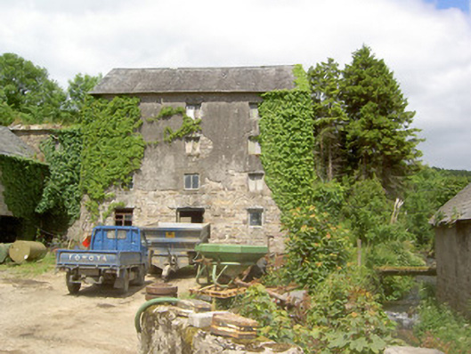 mill (water)mill (water) · 1.2 mi
 Bawn in KilcashBawn · 2.1 mi
 Kilcash WoodForest · 2.1 mi
 Carrigadoon HillMountain / peak · 2.3 mi
 Carrigaloe RockNamed rock · 2.5 mi
 Thomas KielyMemorial · 2.7 mi
Other information
Photo: Credit not shown in the picture search · Rights wording not checked; contact us if this picture should be removed