
What is recorded here
Just below the crest of a hill, overlooking South Lodge house which lies to the NE, in present graveyard (TS078-018004-). According to Power (1907, 288; 1908, 197), the slight remains of an ancient church survived into the early 20th century, though the OS Letters suggest that the church had disappeared by 1840 (O'Flanagan 1930, vol. 1, 57). The church is not visible at ground level.
Compiled by: Jean Farrelly
Date of revised upload: 7 December 2014
The church in Garrangibbon was likely built in the medieval period, with remains recorded as surviving into the early 20th century. Its exact builder and dedication are not specified, but it is situated in a prominent landscape position, suggesting local religious or community significance.
The monument record does not grant public access. Check the route and ask the landowner before entering private land.
- What survives
- Recorded monument
Places near here
 CastleCastle, ringwork · 697 yd
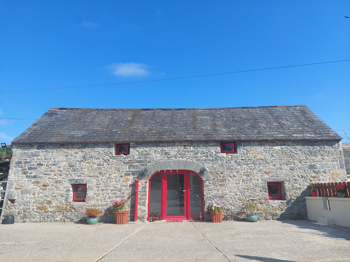 Enclosure in Bleenaleen UpperEnclosure · 1329 yd
 Enclosure in Garryduff (garrangibbon Par.)Enclosure · 1713 yd
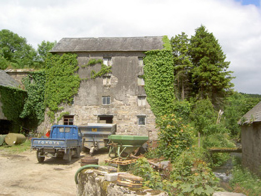 mill (water)mill (water) · 1.3 mi
 Curraghdobbin HillMountain / peak · 1.4 mi
 Whitehall Bridgebridge · 1.4 mi
 Wild CherryWild Cherry · 1.5 mi
 Kilcash WoodForest · 1.8 mi
 Carrigaloe RockNamed rock · 2.0 mi
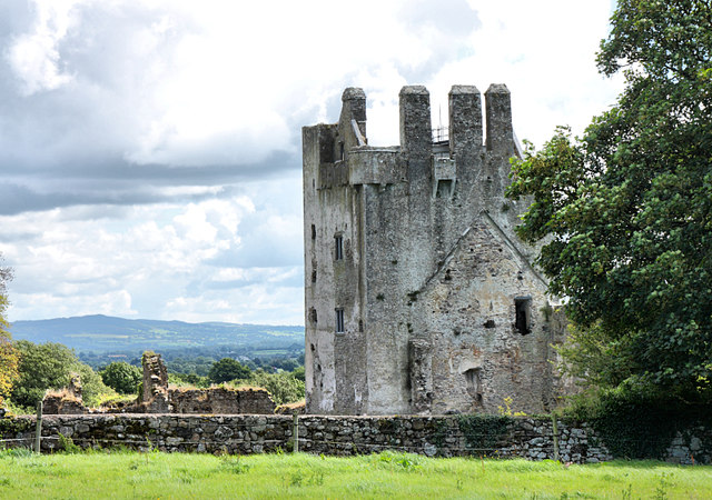 Bawn in KilcashBawn · 2.5 mi
 The SpoutMemorial · 3.0 mi
 SheegounaMountain / peak · 3.2 mi
Other information
Photo: Credit not shown in the picture search · Rights wording not checked; contact us if this picture should be removed