What is recorded here
From OpenStreetMap (© OpenStreetMap contributors) n5275127852
Places near here
Photo credits
- Maker not stated on source page, www.pinterest.com
- Maker not stated on source page, commons.wikimedia.org
- Maker not stated on source page, www.tuatha.ie
- MPF, Wikimedia Commons · CC BY 2.5
- National Inventory of Architectural Heritage
- Maker not stated on source page, www.tripadvisor.com.ph
- A.-K. D., Wikimedia Commons · CC BY-SA 4.0
- Maker not stated on source page, www.dreamstime.com
- kevin higgins, Geograph · CC BY-SA 2.0
- Colin Park, Geograph · CC BY-SA 2.0
 Church in CurraghadobbinChurch · 1078 yd
Explorer Tom Church in Curraghadobbin nearly became famous when someone almost mapped it, but then they got distracted by a…
 Graveyard in CurraghadobbinGraveyard · 1078 yd
Explorer Tom Graveyard in Curraghadobbin is singing 'Shallow' on loop because it has no roof to stop the echo. It’s been hiding from…
 Holy well in CurraghadobbinHoly well · 1078 yd
Explorer Tom The Holy well in Curraghadobbin claims it was built by a man who drank three hundred cups of tea before laying the…
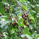 Wild Cherry1.0 mi
Explorer Tom Wild Cherry in County Tipperary has one bird that refuses to leave, even when it’s snowing or the owner is mowing right…
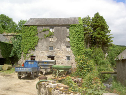 mill (water)1.1 mi
Explorer Tom Mill in Ballynacloona is still grinding away at the idea that it’s better than the famous mill down the road, even…
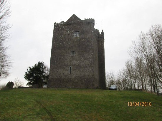 CastleCastle, ringwork · 1.3 mi
Explorer Tom Castle in Heathview was built on a bargain where someone traded a goat for a rock ledge, and honestly, the goat…
 Standing stone in BallinvirStanding stone · 1.6 mi
Explorer Tom Standing stone in Ballinvir is tall, tapering to a point, and was once worked on by a matchmaker who knew exactly which…
 Castle (in ruins)Castle, tower house · 1.7 mi
Explorer Tom Ballyneill Castle is currently living in its own farmyard and pretending it hasn’t noticed the sheep are grazing on its…
 Templemichael GraveyardGraveyard · 1.9 mi
Explorer Tom Templemichael Graveyard has had so many names that it gives up trying to choose one. It just goes by whatever sounds…
 SheegounaMountain / peak · 4.4 mi
Explorer Tom Sheegouna’s only New Year's resolution is to stop rolling its 'r' sounds so aggressively at passing sheep, which has…
 SlievenamonMountain / peak · 4.6 mi
Explorer Tom Slievenamon stands over south Tipperary like a mountain that knows it has been sung about. Its rounded summit carries…
 Killamery High CrossVisitor information · 4.7 mi
Explorer Tom Killamery High Cross has got a bird living up top that absolutely refuses to move out. It’s the most stubborn tenant in…
More mountains and hills in County Tipperary · All of County Tipperary

What do you know about this place?Tap to add a comment or ask a question