
What is recorded here
On relatively flat terrain with a very gradual slope to the N, in rough pasture. Identified on an aerial photograph (Air Corps V. 312 3078/7) where the NW quadrant of the inner (diam. c. 50m) and outer (diam. c. 180m) enclosure are defined by a cropmark and the NE quadrant of both enclosures is defined by curving field boundaries. The outer field boundary has been removed but the outer enclosure is visible in the NE quadrant as a broad, low bank (Wth 6m; int. H 0.17m; ext. H 0.26m). The inner enclosure is only visible where it has been incorporated in the earth and stone field boundary (Wth 3.6m; int. H 0.53m; ext. H 1.36m) with accompanying ditch (Wth 3.5m; D 0.35m) to the N. The inner and outer enclosure are 72m apart.
Compiled by: Jean Farrelly
Date of upload: 26 August 2011
A local fairy fort (ringfort/rath); wider significance not recorded.
This remains an important historical record, but the official description says the monument is no longer visible or has been destroyed. The monument record does not grant public access. Check the route and ask the landowner before entering private land.
- What survives
- No visible remains or recorded as destroyed
Places near here
 Enclosure in Garryduff (garrangibbon Par.)Enclosure · 321 yd
 Curraghdobbin HillMountain / peak · 524 yd
 Hillfort in CurraghadobbinHillfort · 527 yd
 CastleCastle, ringwork · 1481 yd
 Wild CherryWild Cherry · 1.1 mi
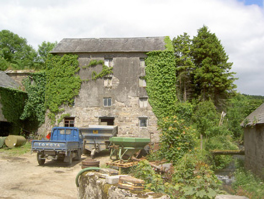 mill (water)mill (water) · 1.1 mi
 Church in GarrangibbonChurch · 1.1 mi
 Bawn in KilcashBawn · 2.0 mi
 Kilcash WoodForest · 2.1 mi
 Carrigadoon HillMountain / peak · 2.3 mi
 Carrigaloe RockNamed rock · 2.5 mi
 Thomas KielyMemorial · 2.5 mi
Other information
Photo: Credit not shown in the picture search · Rights wording not checked; contact us if this picture should be removed