What is recorded here
Fairy fort / earthen ringfort in Garryduff (Garrangibbon parish) is a fairy fort or earthen ringfort in Garryduff (Garrangibbon parish), County Tipperary, Ireland. It is possible that quarrying or later disturbance caused the missing remains, but the facts do not state that cause. The D-shaped area is about 37 metres north-south and 37 metres east-west, enclosed by a stony bank 5.9 metres wide and an outer ditch 2.1 metres wide. The ditch is not visible on the downslope to the north.
Just below the crest of a slope on a N-facing ridge, in rough pasture in hilly terrain, with Curraghadobbin Hill immediately to the SW. A roughly D-shaped area (diam. 37m N-S; c. 37m E-W) defined by a stoney bank (Wth 5.9m; int. H 0.35m; ext. H 1.18m) and outer fosse (Wth 2.1m; D 0.38m). The fosse is not visible downslpe to the N. Limestone slabs are strewn about the ringfort, the result of field clearance. A field boundary runs NW-SE along the E quadrant which is heavily overgrown with gorse, as is the interior. There are the remains of an internal bank (Wth 0.8m; H 0.17-0.32m) running roughly E-W across the monument.
Compiled by: Jean Farrelly
Date of upload: 26 August 2011
The monument record does not grant public access. Check the route and ask the landowner before entering private land.
- What survives
- Recorded monument
Places near here
 Enclosure in RathclarishEnclosure · 351 yd
 Hillfort in CurraghadobbinHillfort · 652 yd
 Curraghdobbin HillMountain / peak · 677 yd
 CastleCastle, ringwork · 1.2 mi
 Wild CherryWild Cherry · 1.4 mi
 Church in GarrangibbonChurch · 1.5 mi
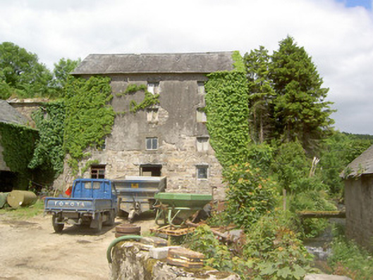 mill (water)mill (water) · 1.5 mi
 Carrigadoon HillMountain / peak · 1.9 mi
 Castle JohnCastle, tower house · 2.4 mi
 Kilcash WoodForest · 2.5 mi
 Knockroe Passage TombVisitor information · 2.6 mi
 Thomas KielyMemorial · 2.6 mi