
What is recorded here
On a flat ledge on an otherwise steep NE-facing slope, in hilly terrain, under tillage. It is indicated on the 2nd (1906) ed. OS 6-inch map as a sub-rectangular enclosure (diam. c. 35-40m) with a field boundary running NW-SE along the SW sector and another running SW-NE along the N sector. The enclosure has been levelled and is not visible at ground level, however, the NW-SE field boundary survives as an earth and stone bank (Wth c. 1.7m; H 0.95m) heavily overgrown with brambles and fern.
In the Fogarty Manuscript (1851) in the National Folklore Collection there is an illustration of a boulder with rock art [KK079-052----] which was, ‘dug out of a motte or forth on the NW side of the pass of Rathclarish about 200 yards [c. 180m] distant from the latter rath’. It is not clear, but the ‘motte or forth’, may refer to ‘Rathclarish’ ringfort (TS079-011----) or this enclosure which is located in the NW portion of the townland.
Compiled by: Jean Farrelly
Date of upload: 21 March 2023
The monument record does not grant public access. Check the route and ask the landowner before entering private land.
- What survives
- Recorded monument
Places near here
 RathclarishArchaeological place · 839 yd
 Partially indicatedConcentric enclosure · 993 yd
 Curraghdobbin HillMountain / peak · 1020 yd
 Church in GarrangibbonChurch · 1.5 mi
 Wild CherryWild Cherry · 1.6 mi
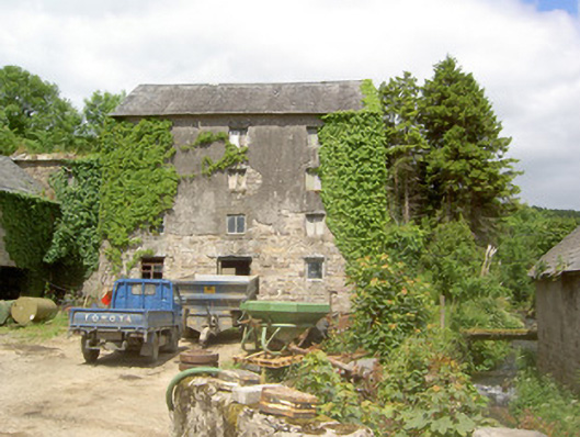 mill (water)mill (water) · 1.6 mi
 Carrigadoon HillMountain / peak · 1.8 mi
 Castle JohnCastle, tower house · 2.2 mi
 Knockroe Passage TombVisitor information · 2.4 mi
 CastleCastle, motte · 2.5 mi
 Kilcash WoodForest · 2.6 mi
 Thomas KielyMemorial · 2.8 mi
Other information
Photo: Credit not shown in the picture search · Rights wording not checked; contact us if this picture should be removed